Gone West Part 2: Grand Canyon, Mules and Donkeys
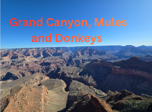
Overview
The Grand Canyon really needs to introduction. It's one of the most famous National Parks and natural formations in the world. This was the second section of our great Southwest roadtrip. I am not going to do a history section on Arizona since Arizona since we mainly were just at the Grand Canyon. I will save that for a dedicated Arizona trip later. We left Joshua tree and traveled almost 6 hours to the Grand Canyon. It is quite a long drive, but we didn't have anything planned for the day other than getting to the Grand Canyon. This part of the country is beautiful which made the drive more fun. We made one stop and it was at Oatman Arizona, which was a famous ghost town that was founded in the early 1900s when gold was discovered in the nearby hills. By 1915 the place was booming mining town and had over 3,000 residents. The bust came in the 1940s when many of the mines were closed during WW2. One thing the town is known for is the Donkey's (or Burros in Spanish) that were used during the mining days that still remain living in the hills around the town. The town eventually was reinvigorated as a tourist stop along the Historic Route 66, a road from Chicago to Los Angeles that passes through the southwest. 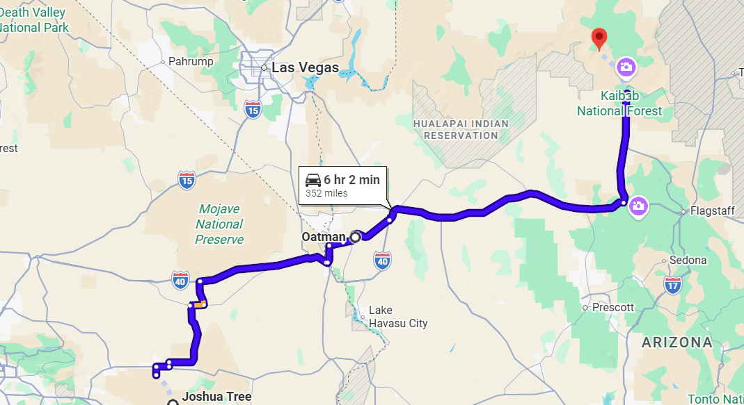
Above: Our route from Joshua Tree to Grand Canyon.
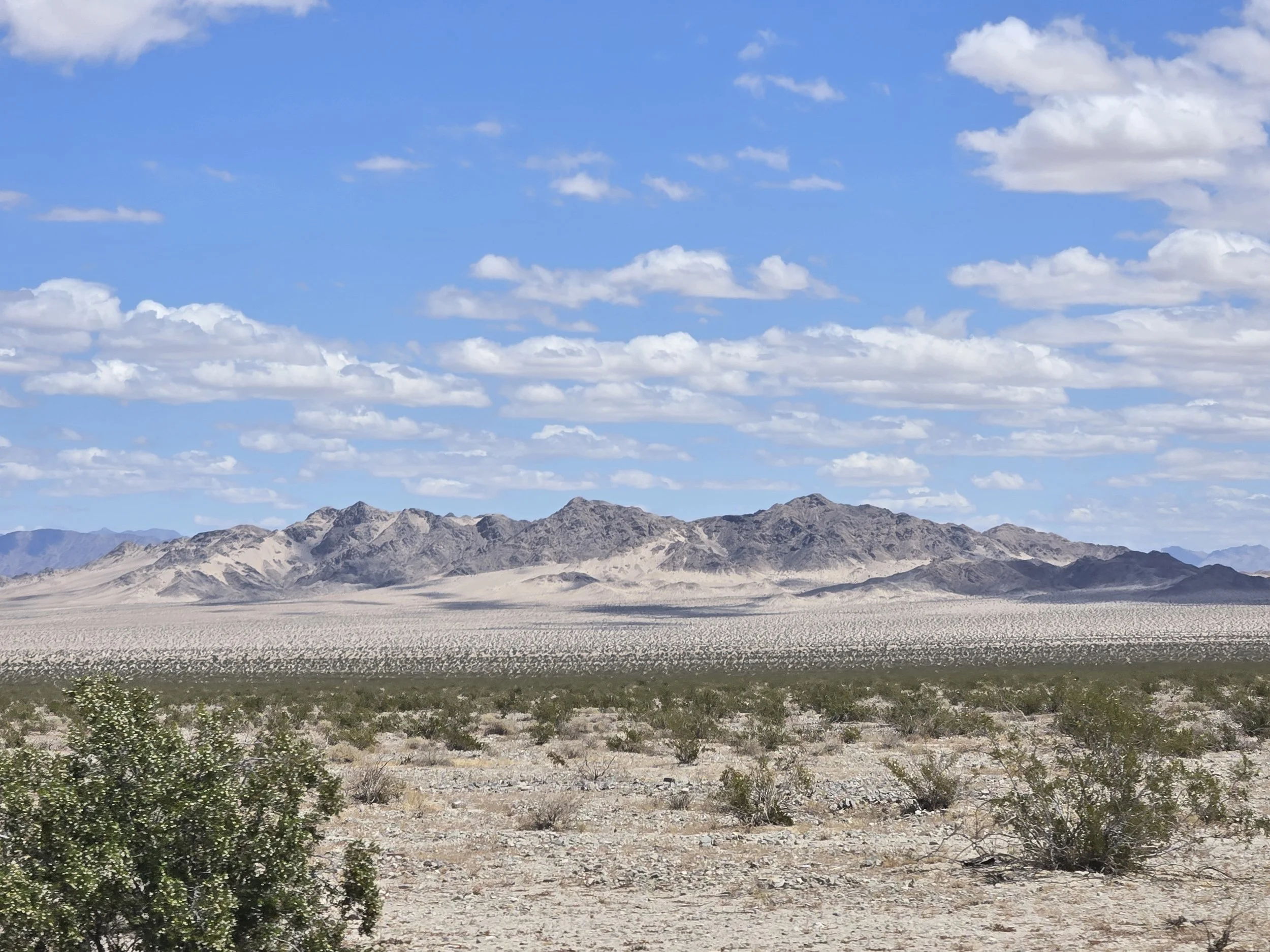
Right: Desert mountain scenery along the way.
Day 6: Oatman sidequest
Oatman is very touristy but in a fun way. It's basically just one main street with shops, an old hotel and a few museums that all have a wild west theme. There is even an old west gunfight that happens daily, we missed it unfortately, as we didn't arrive until around 2PM. The Donkeys were also very full as most of them did not want any food, but they were still good bois. 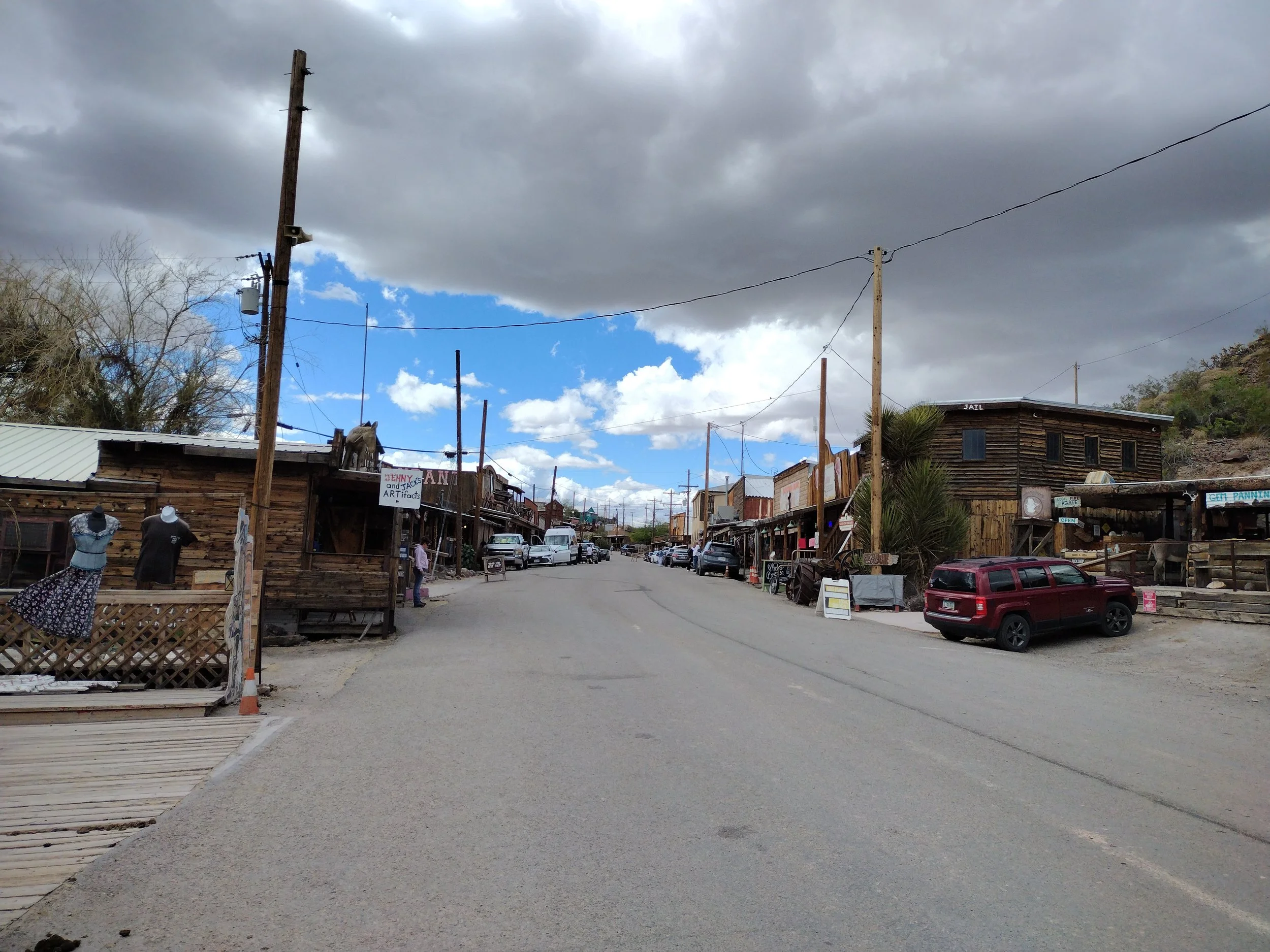
Main Street of Oatman
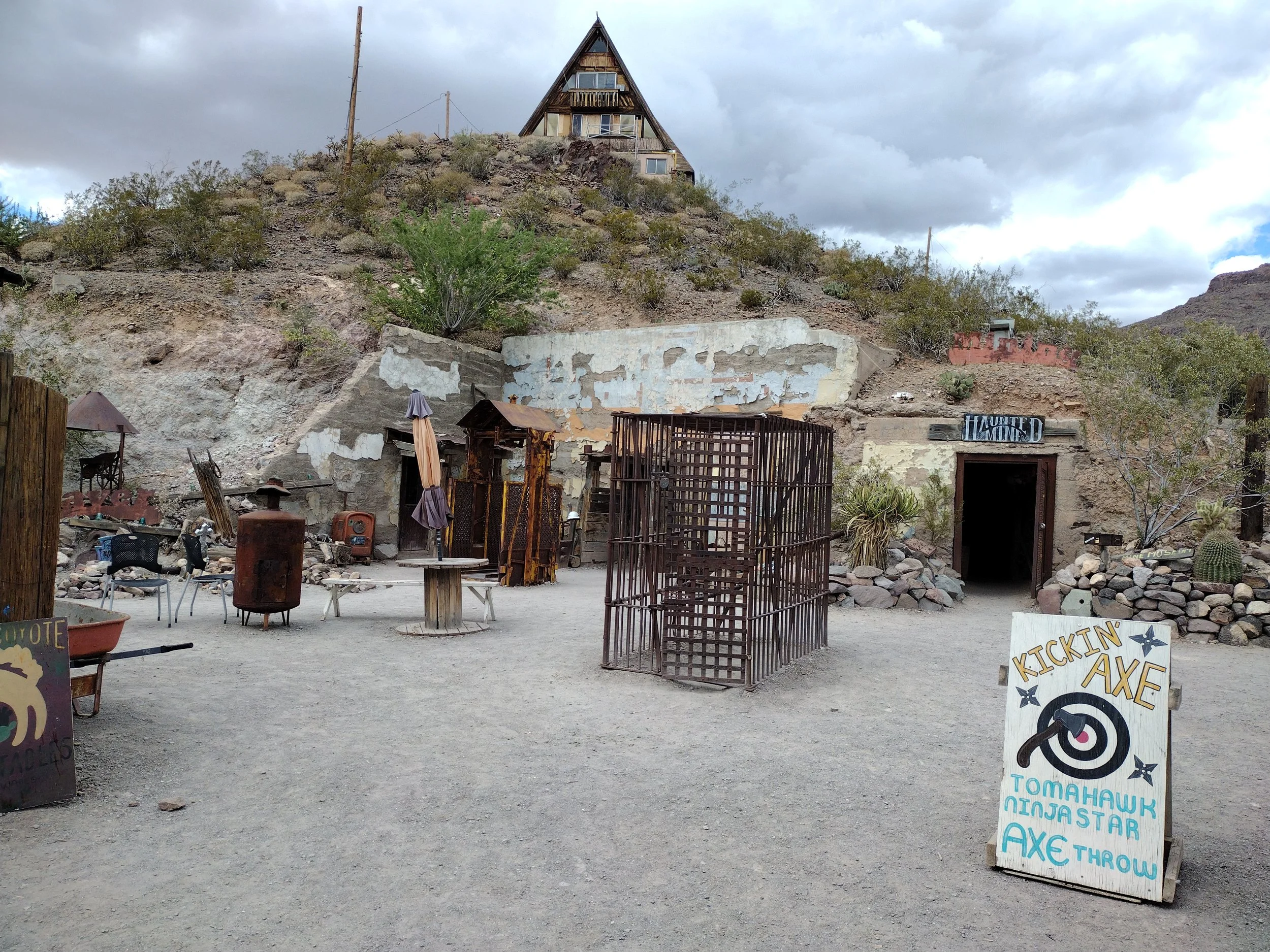
A cool little side area of Oatman. The Haunted Mine and the concrete structure are actually the ruins of a hotel from 1915. There are also some old artifacts laying about like the jail cell. We would go to a real mine later in this trip in Nevada.
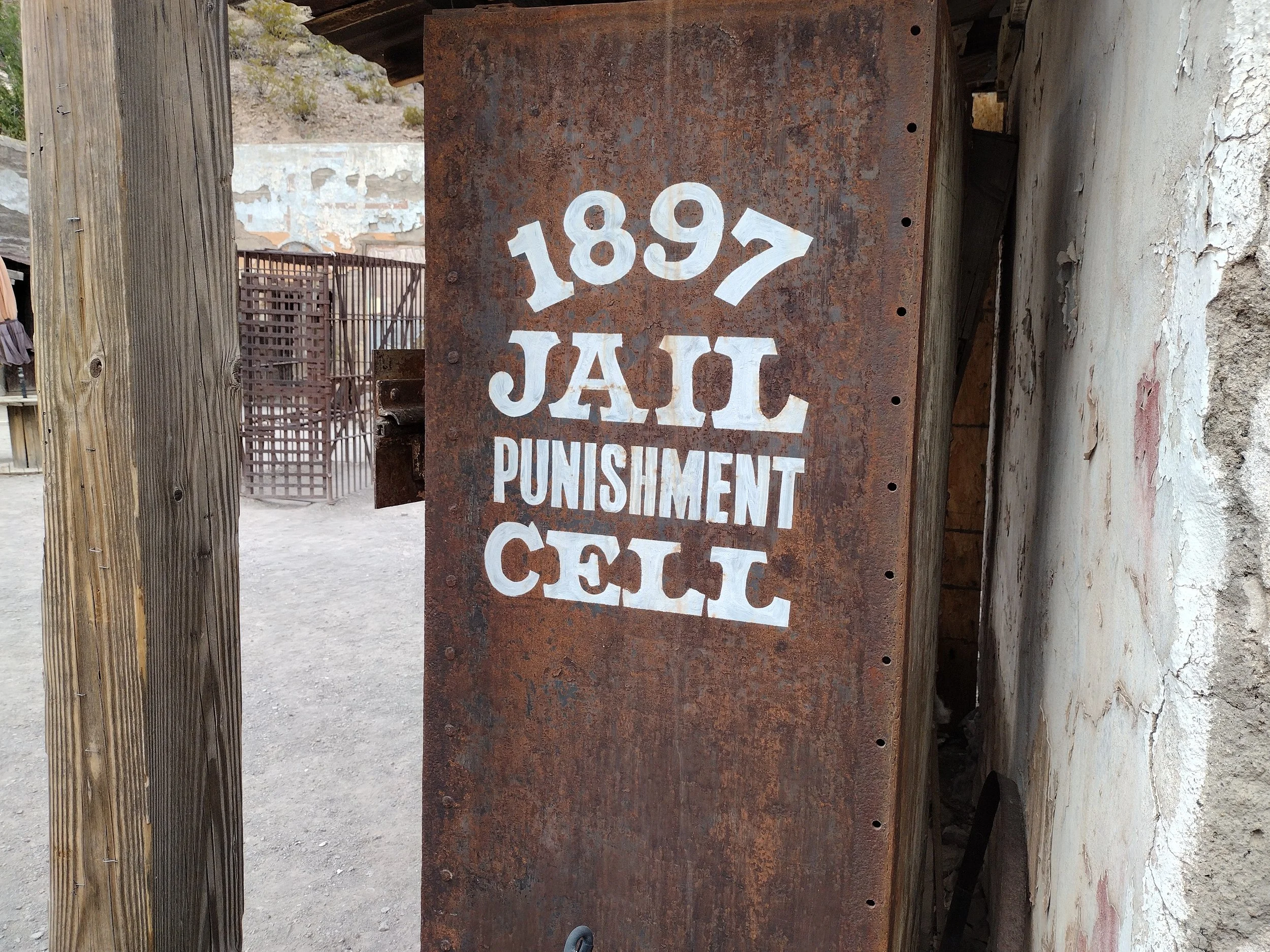
Another old Jail cell near the hotel ruins. This one looked like a locker
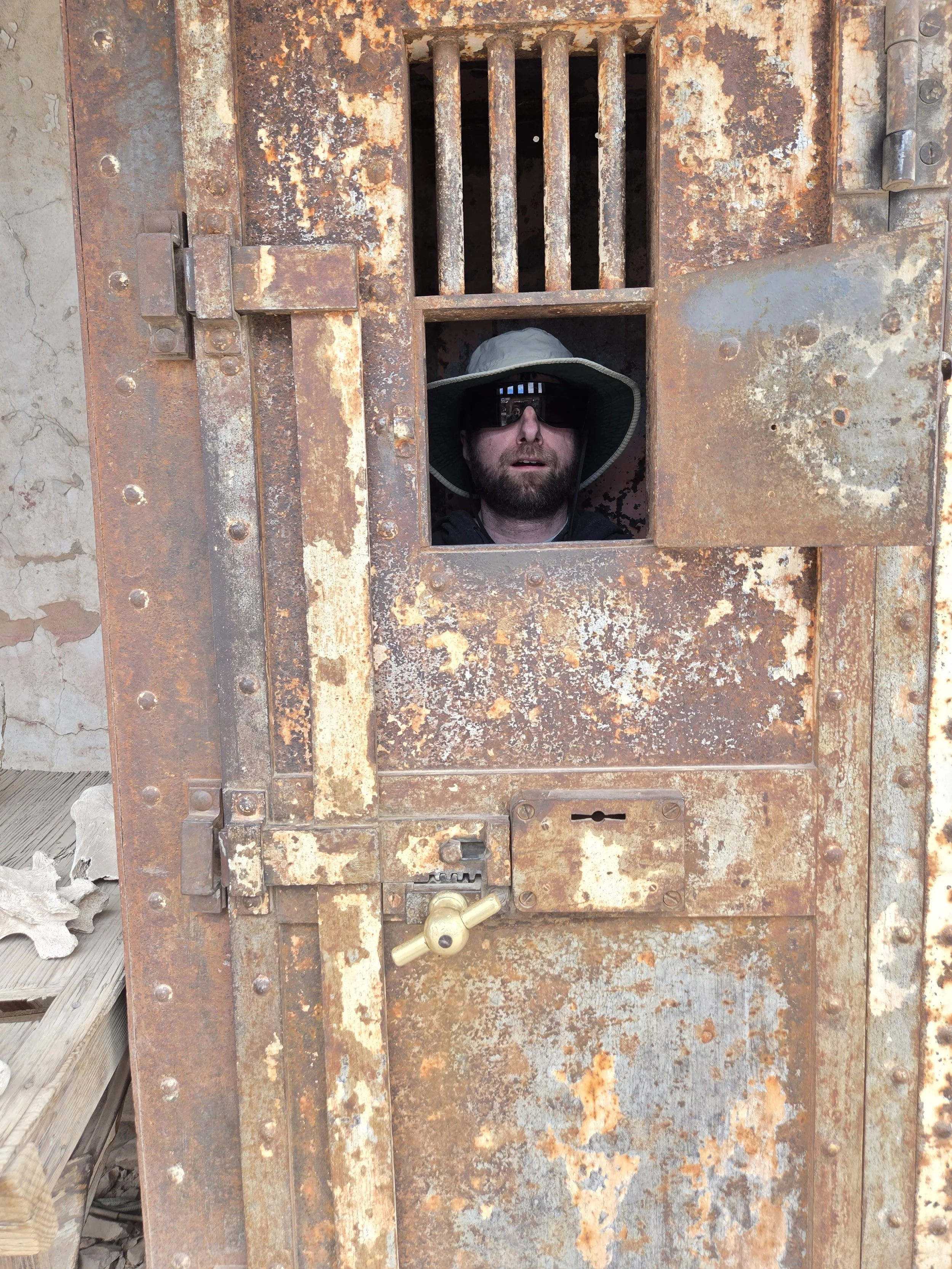
They got me
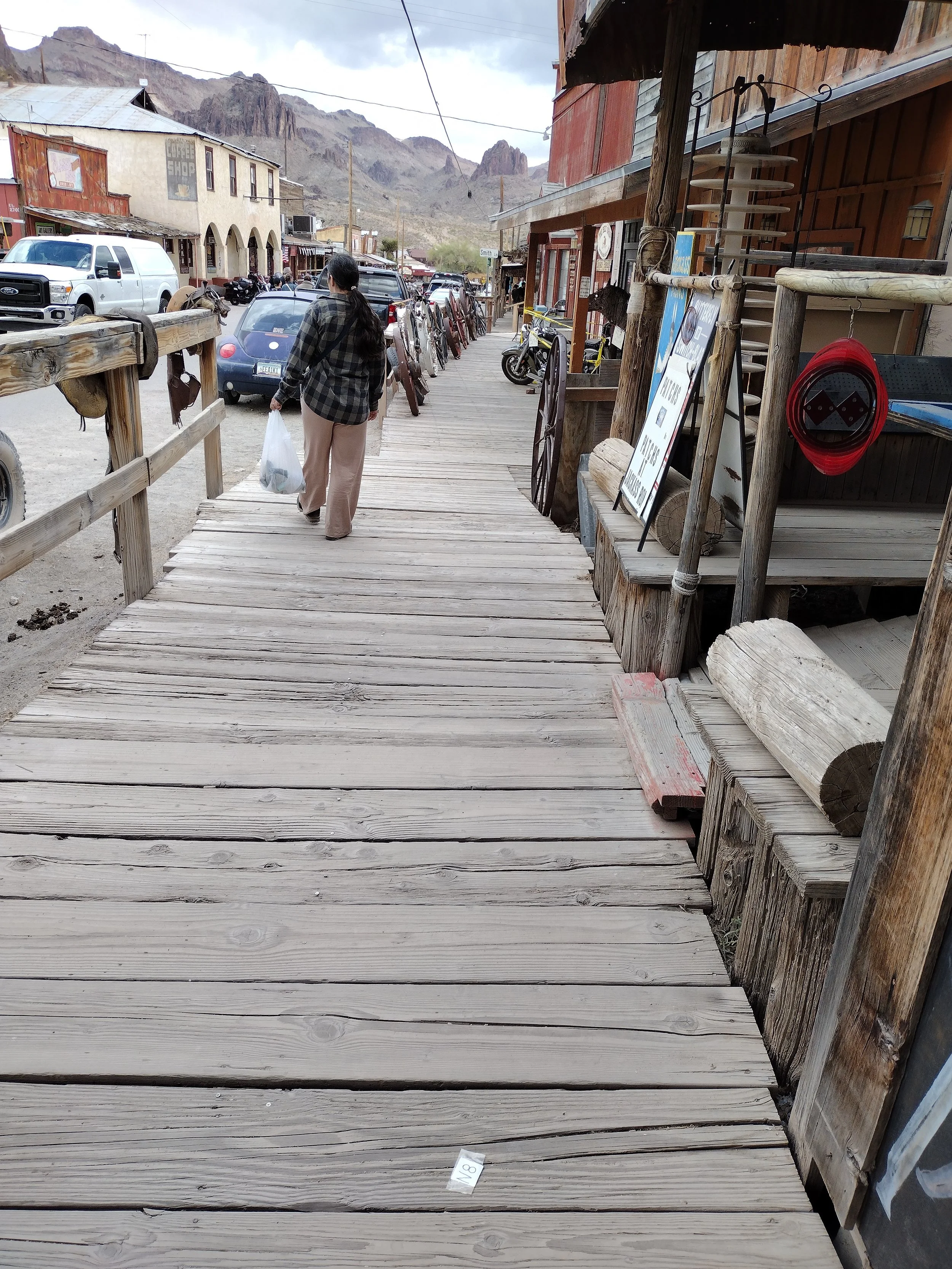
Classic look wooden sidewalk with a view of the mountains around Oatman. The building with the arches is an Old Hotel that was founded in 1902. It had burned down in the 1920s though but I think some of it is original.
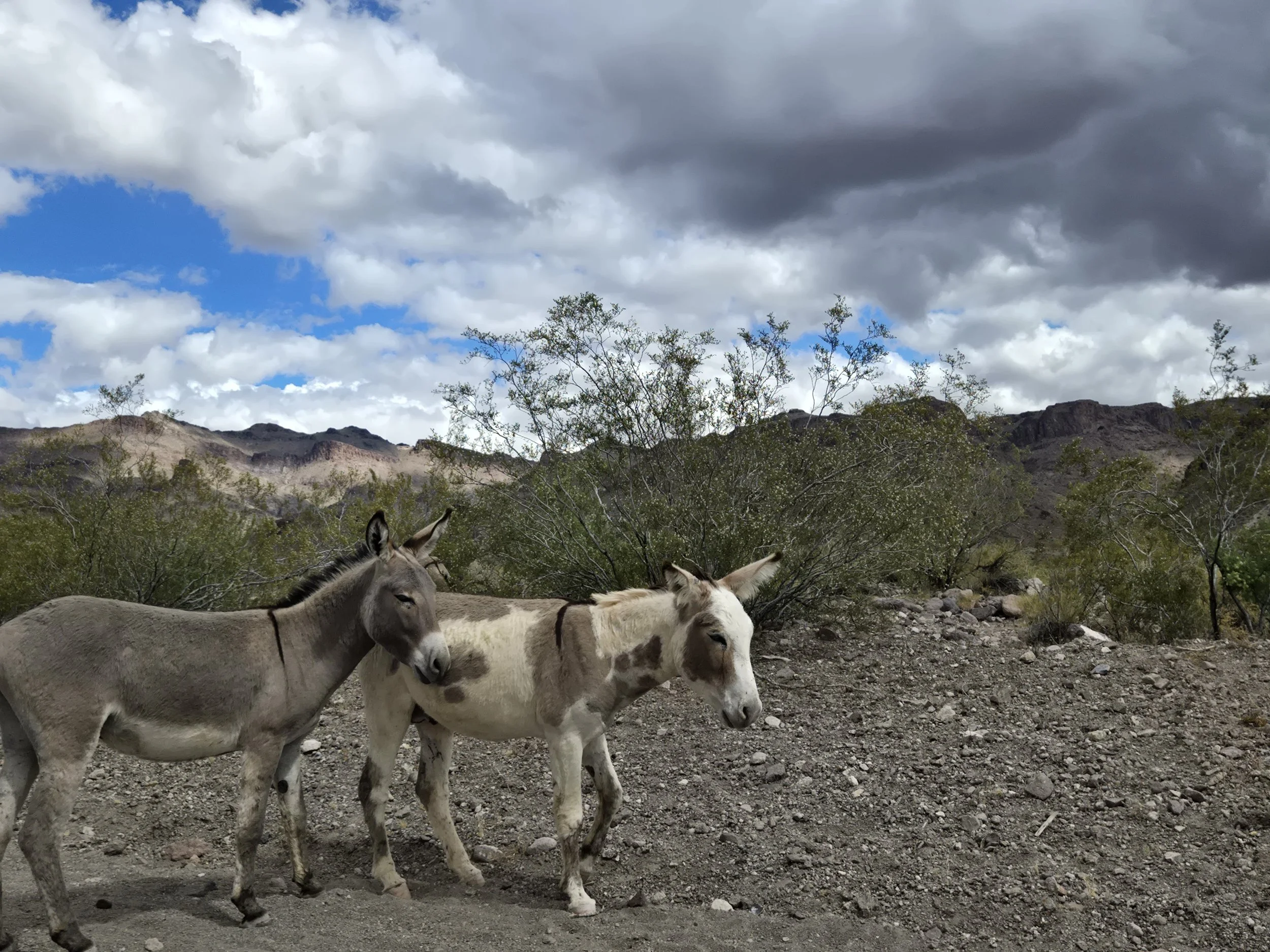
More Donkeys as we were going into town.
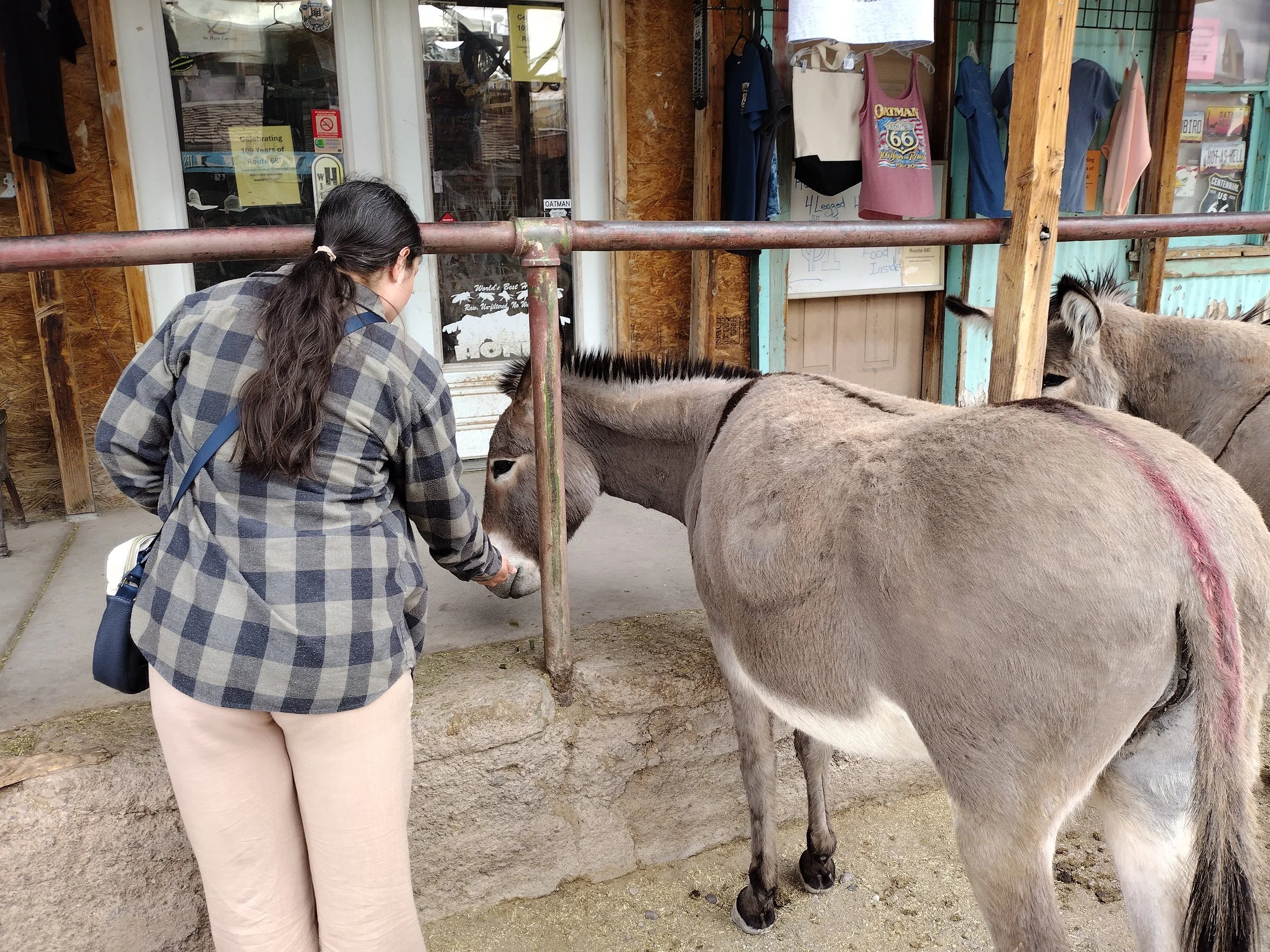
We really enjoyed Oatman even though there wasn’t a lot going on. It was a good place to stretch the legs and see some Donkeys and old west themed shops. In fact, the Old or Wild West would continue to be a theme in the Grand Canyon and really the rest of this trip. As an easterner I was very excited to see classic old west sites, old mines, ghost towns etc. Leaving Oatman we had to face the sidewinder, which was a very, very curvy side road going through the mountains. It was not for the faint of heart but if you just take it slow, you'll be okay. The desert gave way to some rolling hills and a bit of forest, which surprised me as I always thought the Grand Canyon was in a desert, however that was not the case. We stayed at the Grand Canyon Hotel & Suites, which is in the town of Tusayan just outside of the park only 12 minutes away. The hotel was very comfortable, had a continental breakfast and pictures of the Grand Canyon everywhere. If you’re staying there, you are visiting the park, no if ands or buts. We had a mule ride along the edge of the Grand Canyon planned early the next day. They wanted us to sign in the day before, but we weren’t able to make it that day, meaning we had to arrive even earlier to be weighed for the mules.Day 7: Canyon Mules
This trip was in mid April but it got down below freezing that first night at the Grand Canyon. It was so cold there was s layer of ice on the car and some on the ground.We went to see the sunrise at the Grand Canyon before getting weighed for the mules and I got my first look at the canyon. Cerissa had seen it as a child. 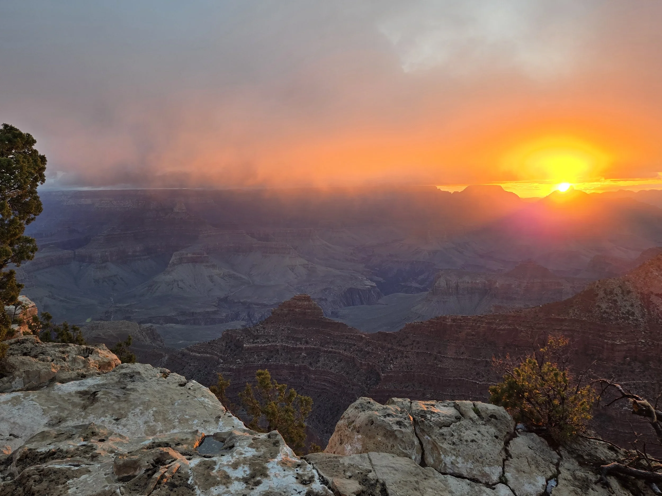
sunrise
We went to Bright Angel Lodge where we were weighed for the Donkeys. Bright Angel lodge is right on the rim of the Grand Canyon in an area called Grand Canyon Village, which was founded in the late 1800s by various pioneers trying to make money mostly from mining, tourism and the railroad. The first railroad came to the Grand Canyon in 1902 which made it much easier for visitors. The village is mostly large hotels with some dining, mule pens and an old rail station. We signed in at the lodge and checked out the rim of the Canyon a little bit. It was at this point that we realized it was very cold, barely above freezing, which isn’t terrible for a quick peak at the canyon but quite cold for a two hour mule ride. We also did NOT bring the correct clothing. Once the store opened we spent way too much money on warm clothes but I believe it was worth it, as we should have packed warmer clothes. 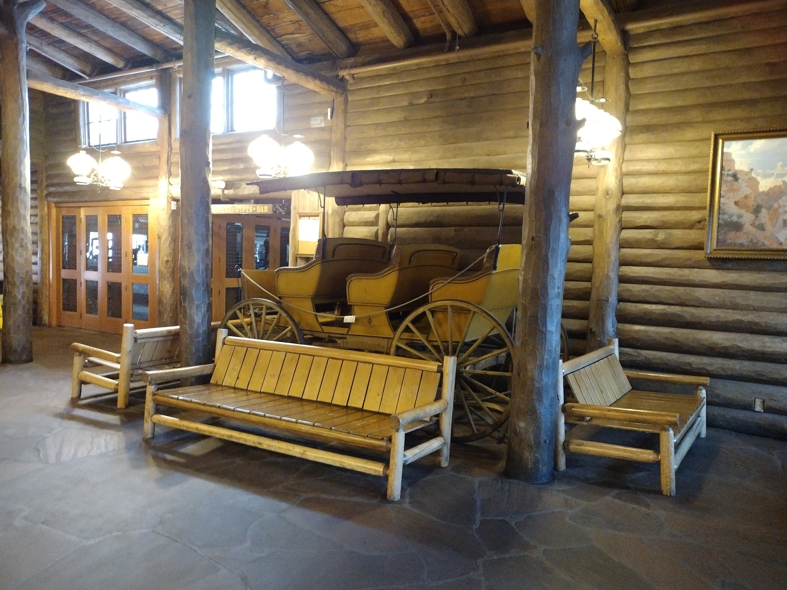
Beautiful log interior of the Bright Angel lodge with a historic carriage for display. I couldn’t mind much information about the carriage.
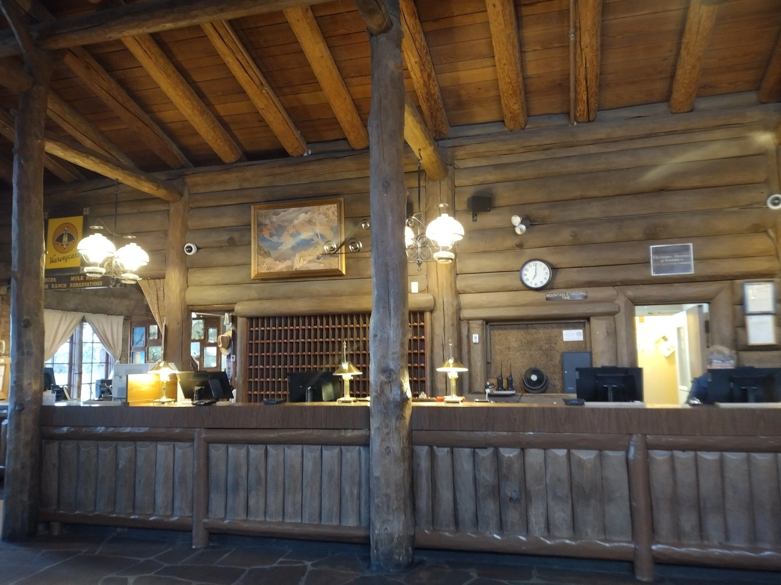
The receptionist desk. This is also where we checked in for the mules.
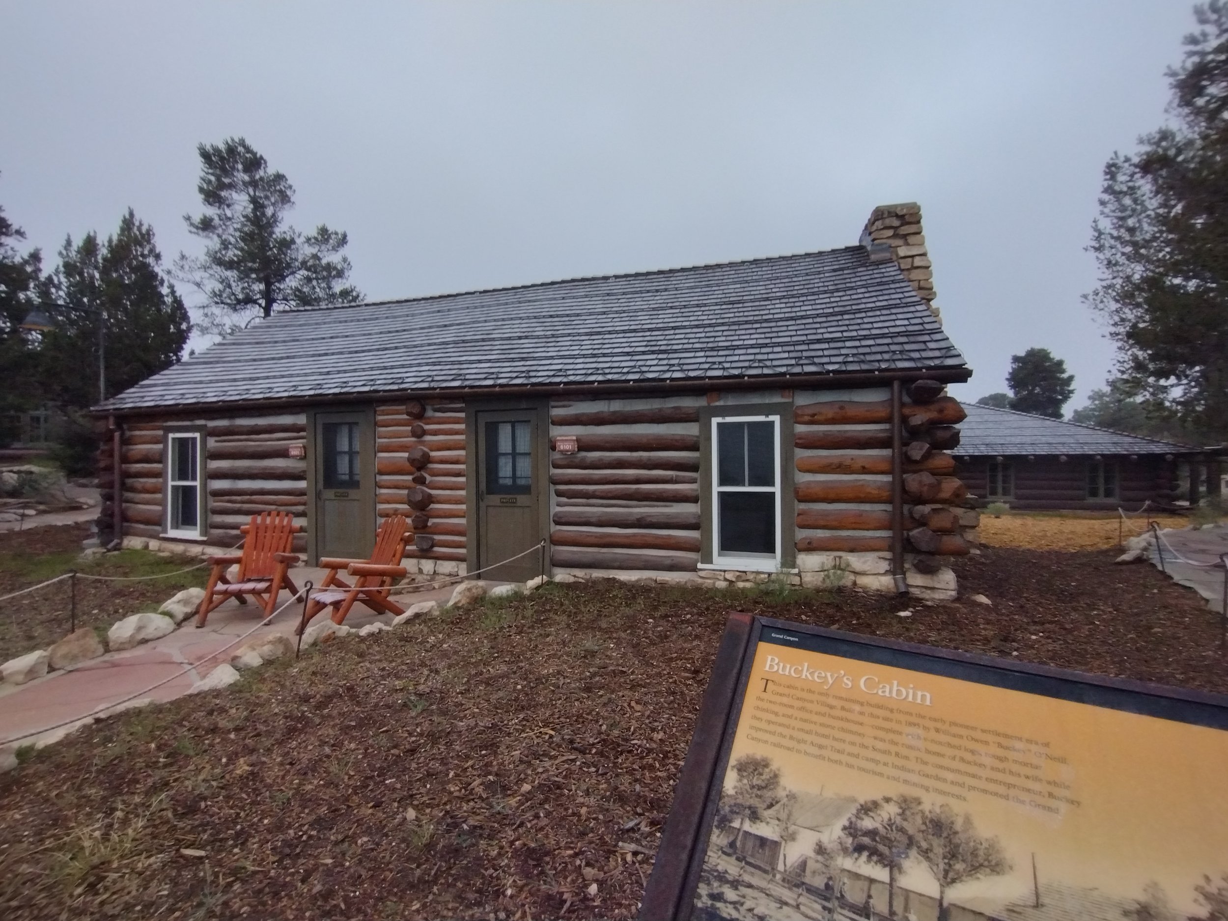
This is Buckey’s cabin, built by Buckey O’Neill in 1895. It’s the oldest building in Grand Canyon Village. Buckey O’Neill was apparently a pioneer who dabbled in mining and promoting the Grand Canyon. He was one of Teddy Roosevelts Rough Riders a so called ‘Cowboy cavalry’ that fought in the Spanish American War.
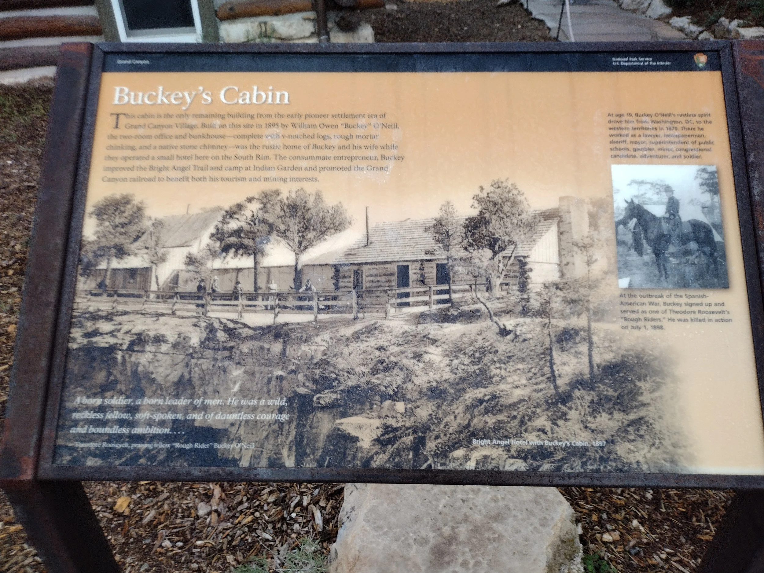
Buckey was killed in during the war. The plaque has a lot of information about Buckey and a quote from Teddy Roosevelt about him. This is actually a suite you can stay in but it’s very expensive. I didn’t want to take too close a picture in case someone was sleeping inside. This panel had cool old photos of Bucky and the lodge from 1897.
All bundled up it was finally time. A bus picks you up from the lodge and takes you into the forest to where the mules lived. This was the along the rim mule ride, so it was an easier ride for the mules. Our mules are the ones who are around 20 years old and retired. The younger mules are saved for the canyon descent and ascent. We got a quick walkthrough of how to handle a mule, mostly just move the reins where you want them to go. All these mules are very used to the trail so most already know what they are doing. We were freezing, even with all our new clothes waiting for our mule mounts. Shivering there we wondered if we could really spend the next two hours outside. After they put us on our mules the person running the tour announces that if anyone wants to back out now, they can still get a full refund. An offer that a family of 4 took up, not wanting to deal with the cold. I am not going to lie; we would have been very tempted to take that offer had we not already been mounted on our mules at this time My Mule was named Fooler and one of the wranglers told me that he was known for rubbing against certain bushes along the path but to just pull him away. They apparently call those bushes ‘Fooler bushes’. this is not necessarily what you want to hear especially when you see a lot of bushes close to the very edge of the canyon. Our mules started moving in their mule train, moving nose to tail as they were supposed to. As the mules started moving we forgot about the cold (that or the mule body heat helped) and for a moment we were cowboys from the old west. I felt that cowboy energy within me as Fooler and I made our way along the rim. Mules had been used at the Grand Canyon for over a hundred years starting with the first pioneers. They were the easiest way to traveling around and down into the canyon. Our wrangler explained to us that Mules were the offspring of a horse and a donkey. They have the height (roughly) of a horse but the long ears and shorter mane like a donkey. Mules are apparently much better for navigating the Grand Canyon because, unlike horses, they can see their feet below them and are more thoughtful about their footfalls. Mules also will tell you when they don’t want to work anymore and refuse to continue working if they don’t want to, this is also different from horses who will work themselves to death. A mule would just say no. 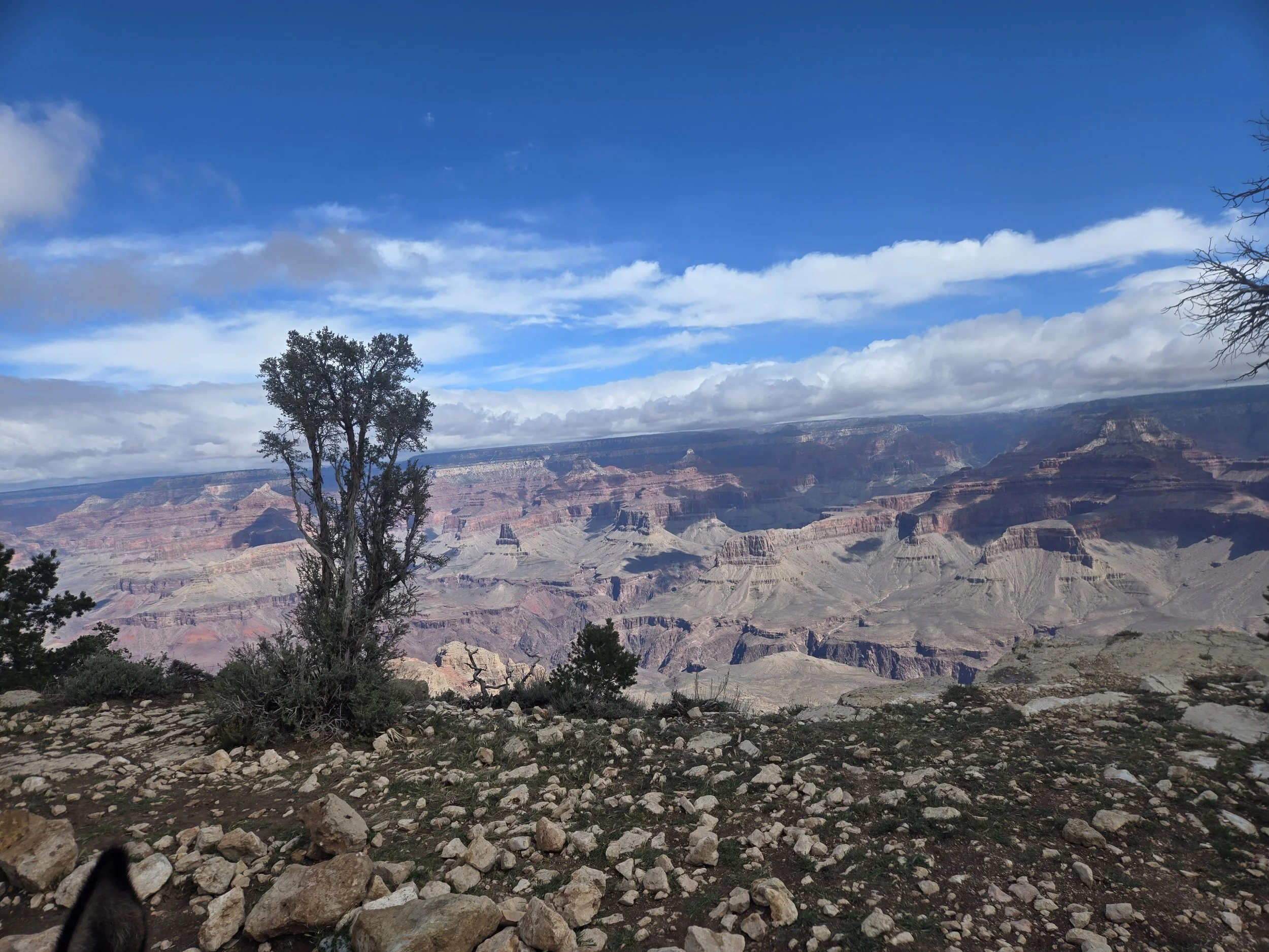
Nice view from the ride. I liked the cloud shadows on the canyon.
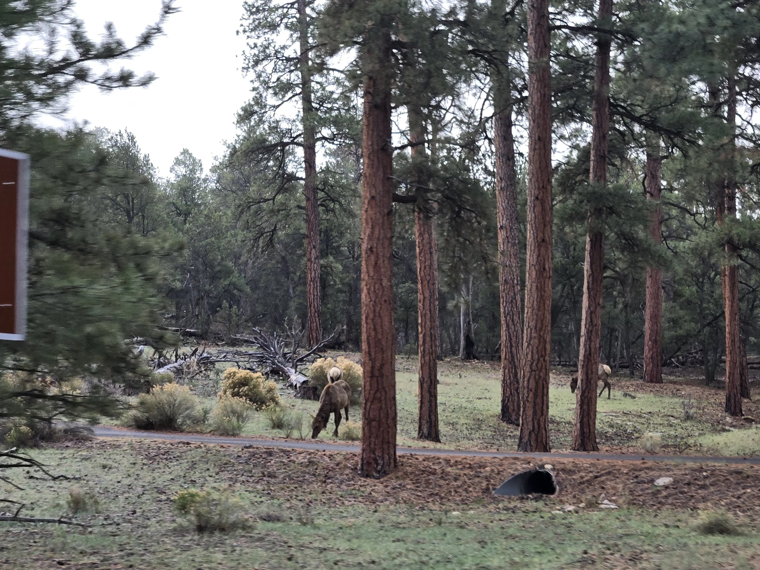
Elk near the other side of the rim. They ignored us, used to mule trains on that route.
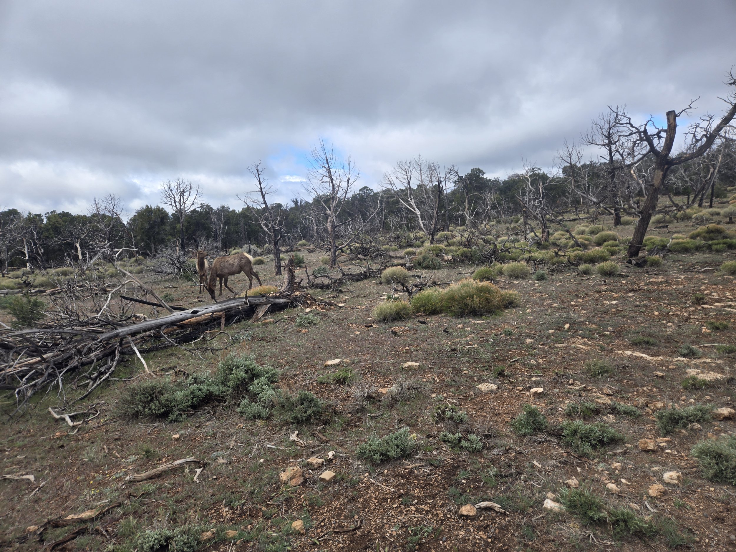
The area had some burned trees which our guide told us was from lightening. Also, more elk.
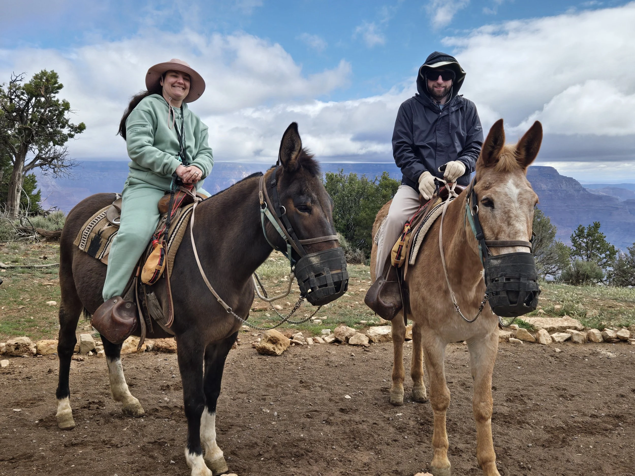
Cerissa and her mule Cherise. Me and Fooler.
On our way back it finally happened. Fooler had found a Fooler bush! He began rubbing against the bush, luckily it was not on the canyon side so we weren’t in any danger. I pulled and pulled the reins but Fooler had his Fooler bush and would not say no. He didn’t do it too long though and I was back in the mule train. At last we returned and said goodbye to our mules. Our legs and knees were on fire since ridding mules is not a regular thing that we do. Boarding the bus again we saw another close up of an elk. We were very sore so we decided to save hiking for the next two days. We had a good meal at the Bright Angel lodge Harvey House Cafe. The food was very good, Cerissa had a burrito and I had a burger. It was a little expensive, but it was good and the staff were very friendly. It’s one of the few nice sit down places along the Rim so I didn’t think the prices were that bad. There was a cheaper more cafeteria style eatery that we went to another day that was cheaper. We went back to the rim trail right on the edge of the village for more good views. We checked out two visitor centers/gift shops, the Verkamp's visitor center and the Hopi House. Both are over a hundred years old, with the Hopi House built in 1905 and Verkemp built in 1906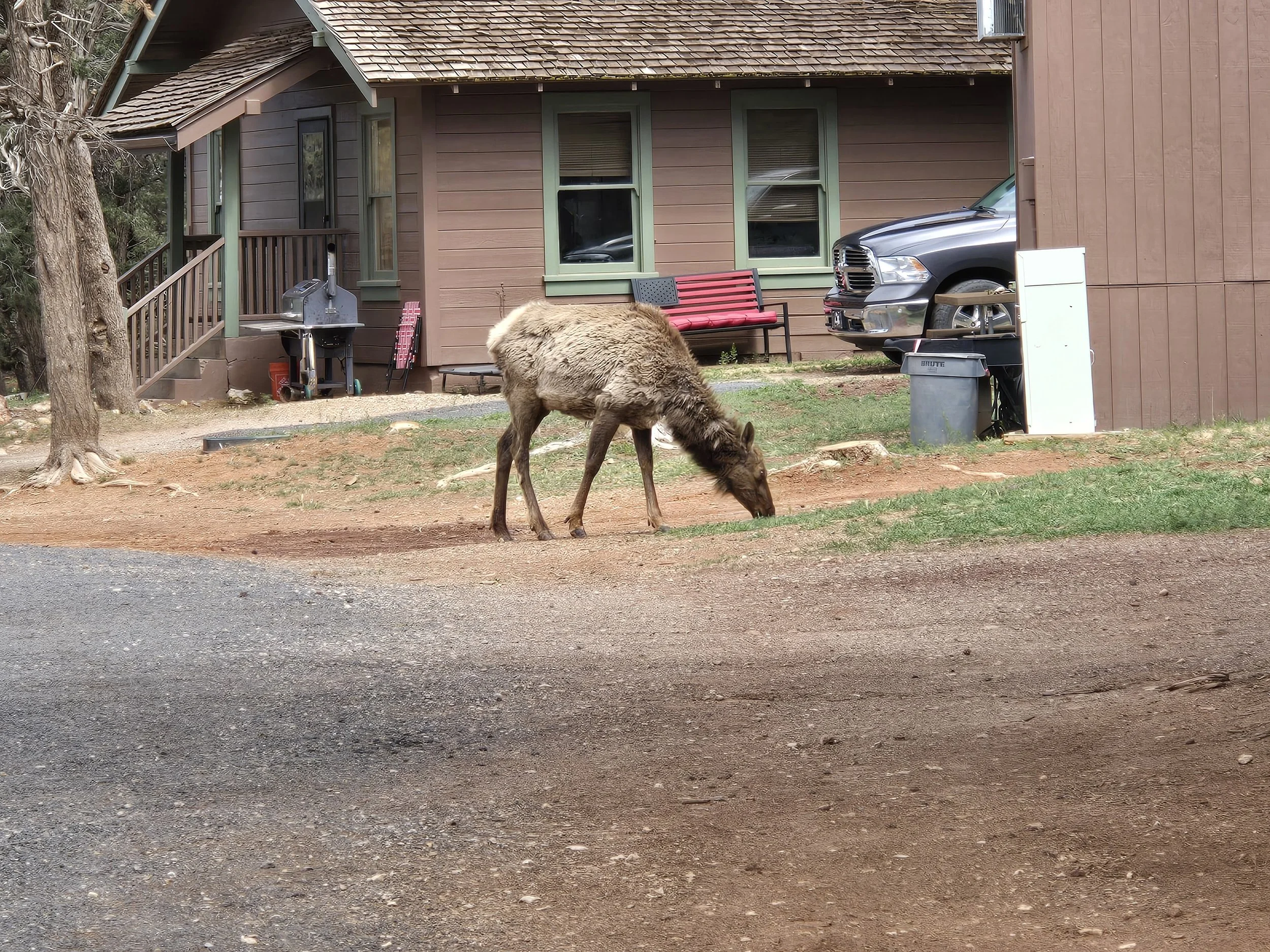
The elk milling about.
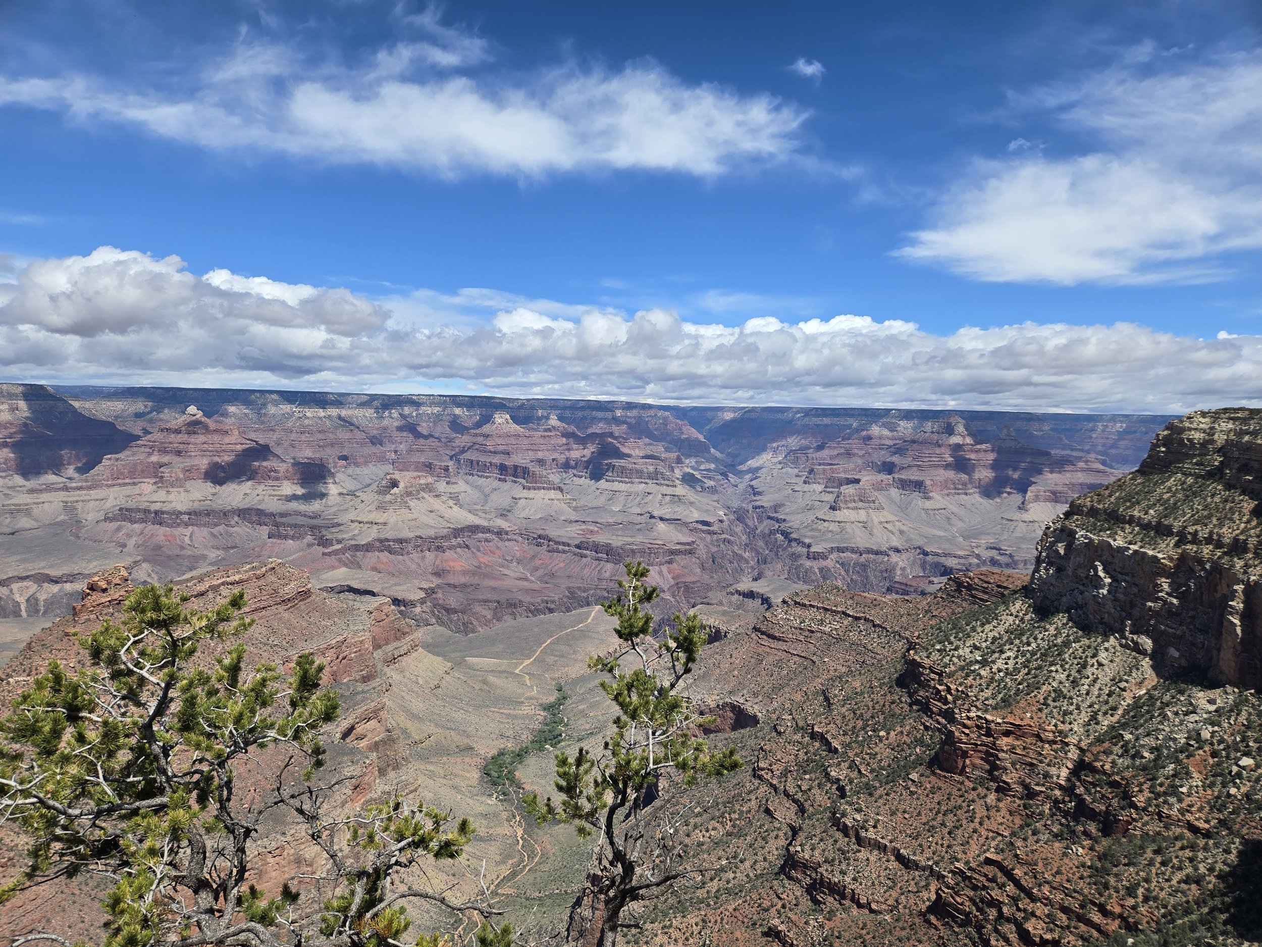
A famous view of the Grand Canyon right near the Grand Canyon Village. You can get a good look at the different levels o the canyon.
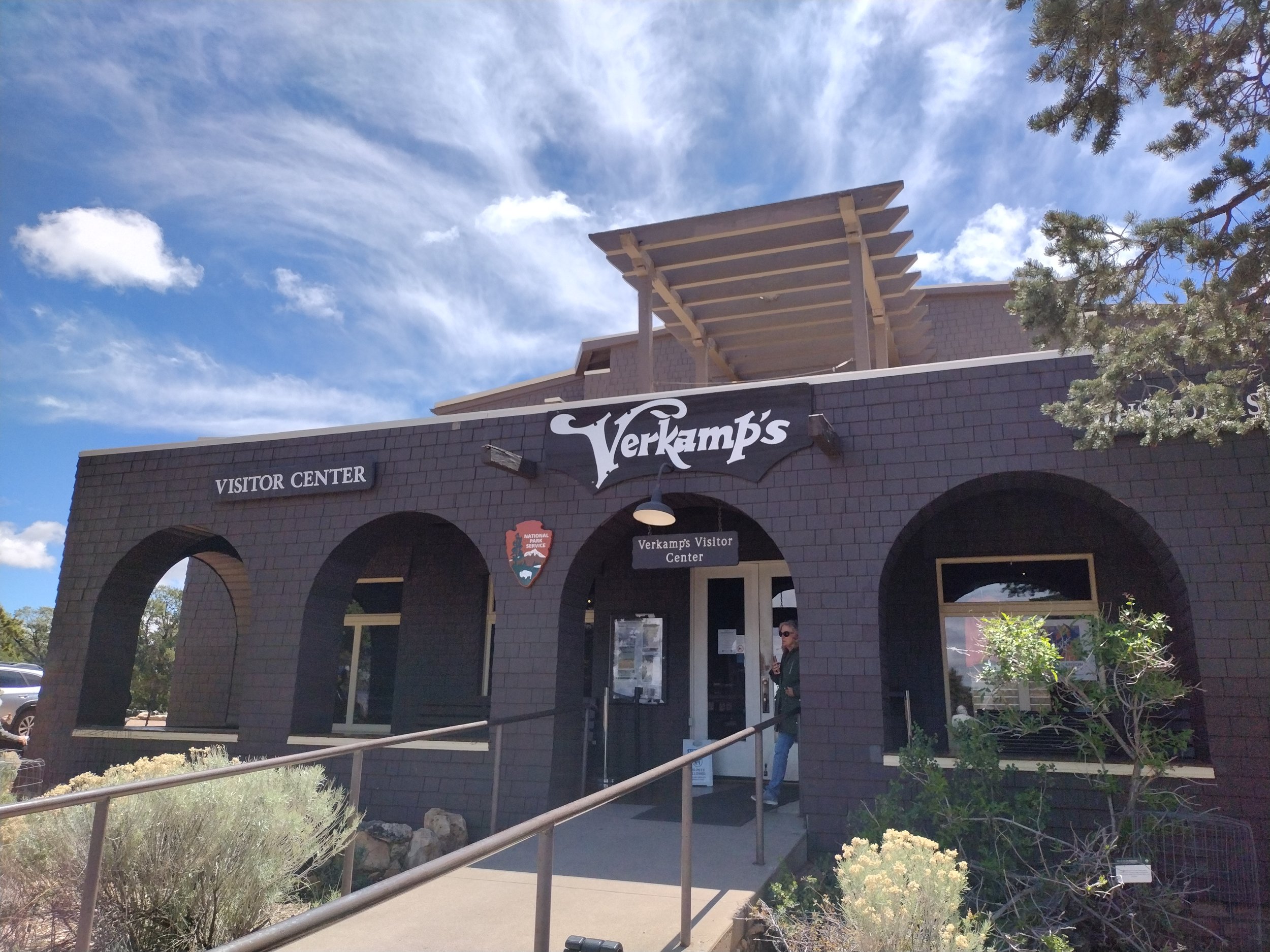
Verkemp’s Visitor center. One of the most unique architecture in the village. most are Stone and wood log construction.
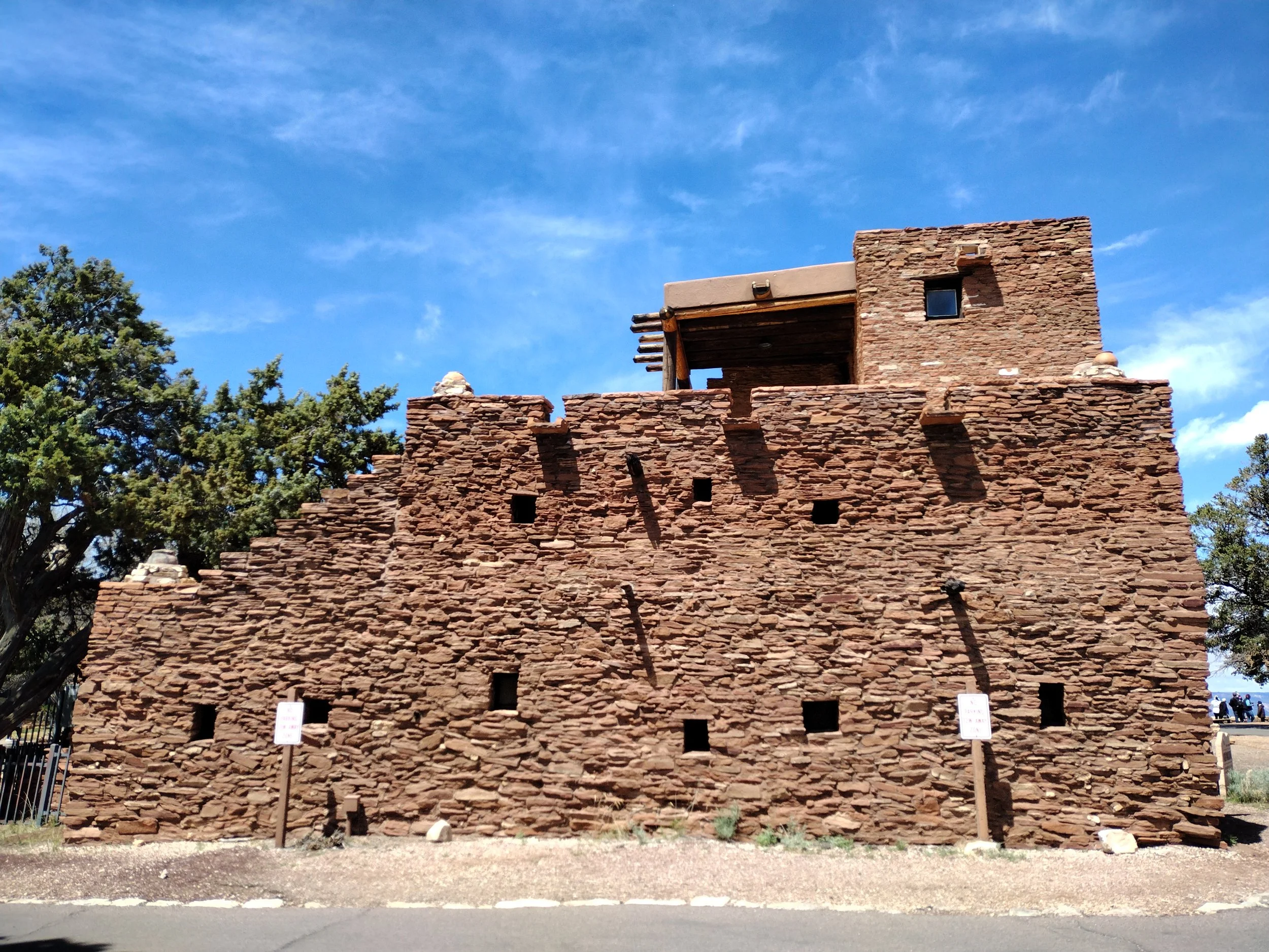
The Hopi House, designed to look like a traditional Hopi building.
The Verkemp's visitor center had a nice little museum on one side about the history of Grand Canyon Village and Verkemp. It has a cool timeline on the floor that had a chronology of the important events of the village, from 1870 to modern day. There are also panels with old photographs from the late 1800s and early 1900s of the village. The Hopi House is built like a traditional pueblo house, that Native Americans used near the Grand Canyon for hundreds of years. The architecture and small panels explaining several of the Native American artifacts were interesting, but I wish the area had a dedicated museum space to the Native tribes of the Grand Canyon. We learned from another place that there were 11 tribes who had cultural heritage to the Grand Canyon. Learning about that would have been a better use of the space in my opinion. 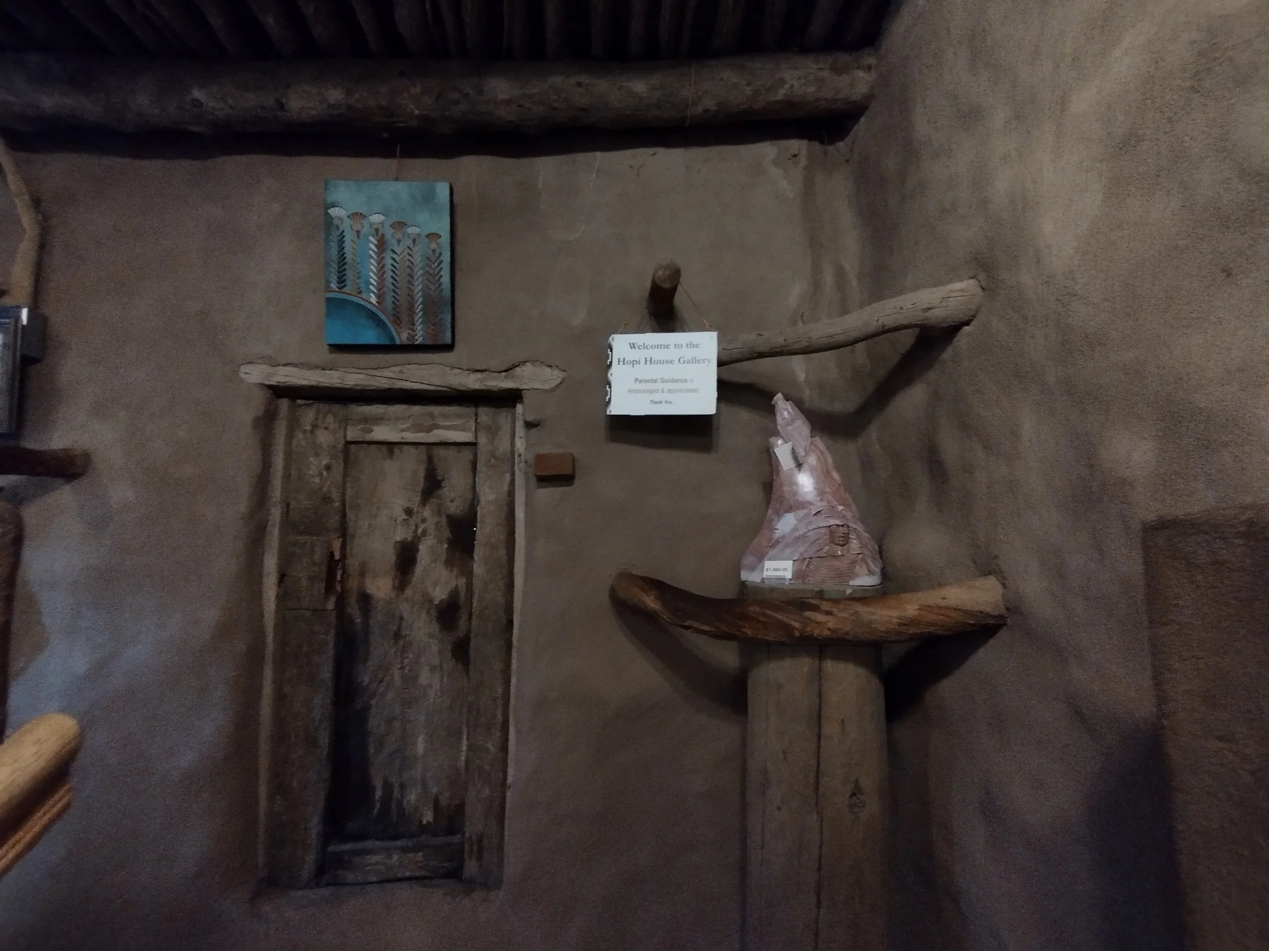
Some abode walls of the Hopi House.
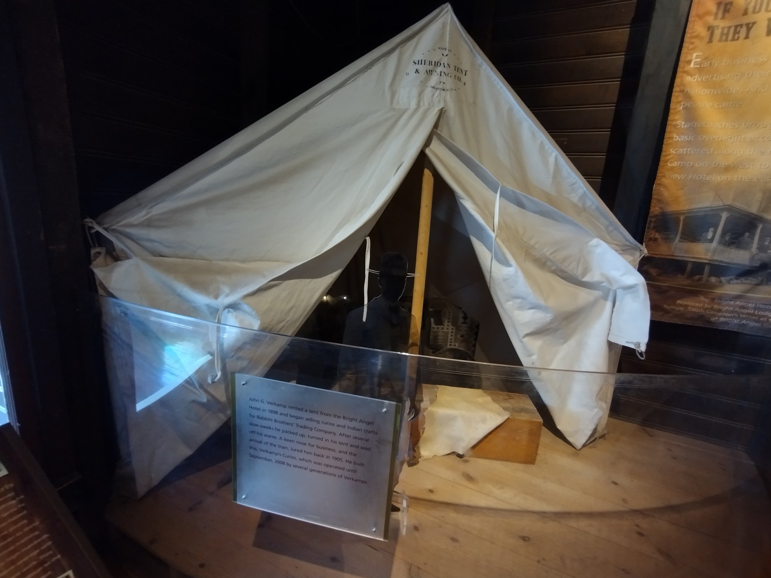
A replica of Verkemp’s tent, that he stayed in before he built the visitor center.
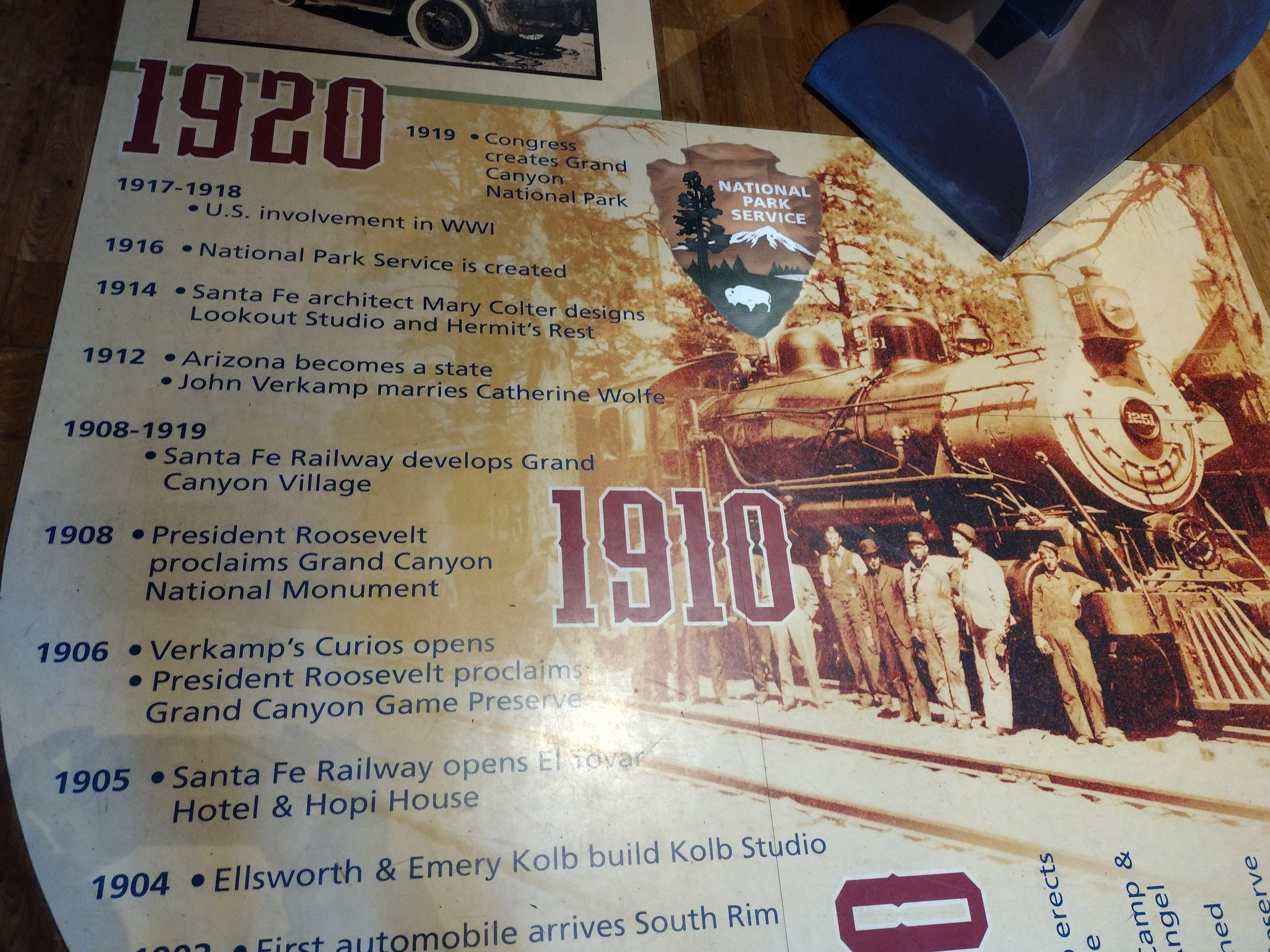
Floor Chronology in the Verkemp visitor center
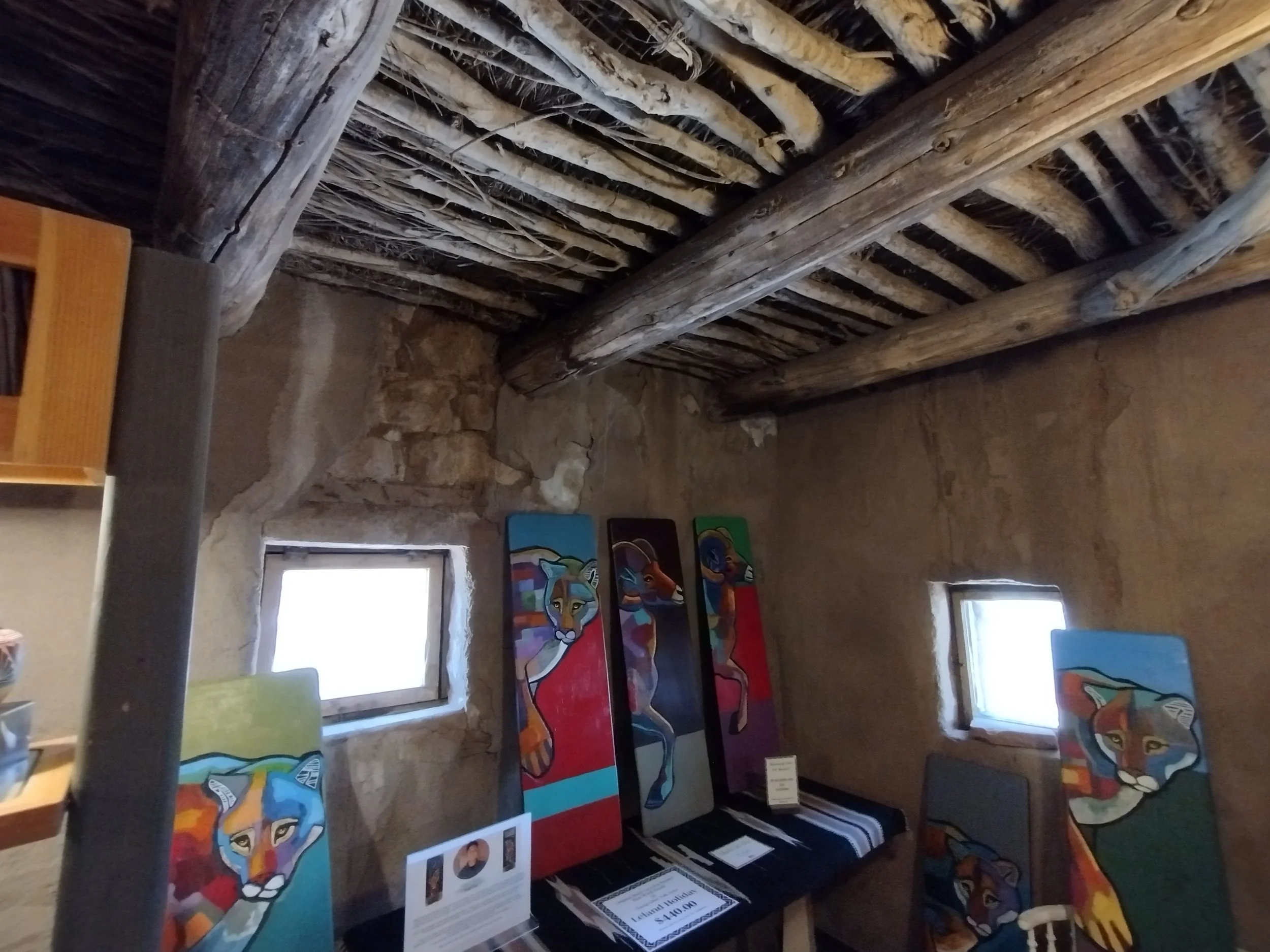
A better look at the joists for the Hopi house. The building was built in stone then covered with abode clay.
We went to bed to be up early for hiking tomorrow. The hotel gives you a link to a site that shows how busy the park entrance is. The National Parks App also shows you a camera pointed at the entrance. Everyone everywhere tells you to avoid going too late and its pretty good advice. We were in the park before 9 most days. Day 8: Ooh Aah
The mule ride made muscles ache that we didn’t know we had. I didn’t realize how much my knees would be hurting since it didn’t seem like I was using them that much during the ride, but I guess I was. We Arrived early, as you do, and went first to the Yavapai Geology Museum, which is right along the South Rim with a large window looking out at the Canyon. There were a panels with exhibits about how the Grand Canyon was formed. To make a Really, really, really, really long story short, the Colorado river over the course of millions of years cut out the massive canyon. The Colorado Plateau rose up when the supercontinents collided, like many of the large mountain ranges. For some reason, the plateau was more regular and less jagged than when this occurred in other places. Because the Colorado Plateau was so much higher it had a very steep gradient, which caused water to move much faster through it. The Ranger who we heard a Geology talk from later in the day explained that there were boulders the size of cars that would crash through the Colorado River. This steep gradient also made erosion from rainfall happen to form the pyramidal canyon 'temples' as they are sometimes called. The Grand Canyon is a treasure trove for geologists and Paleontologists (thought unfortunately no dinosaurs :( all the layers of the Canyon predate them). 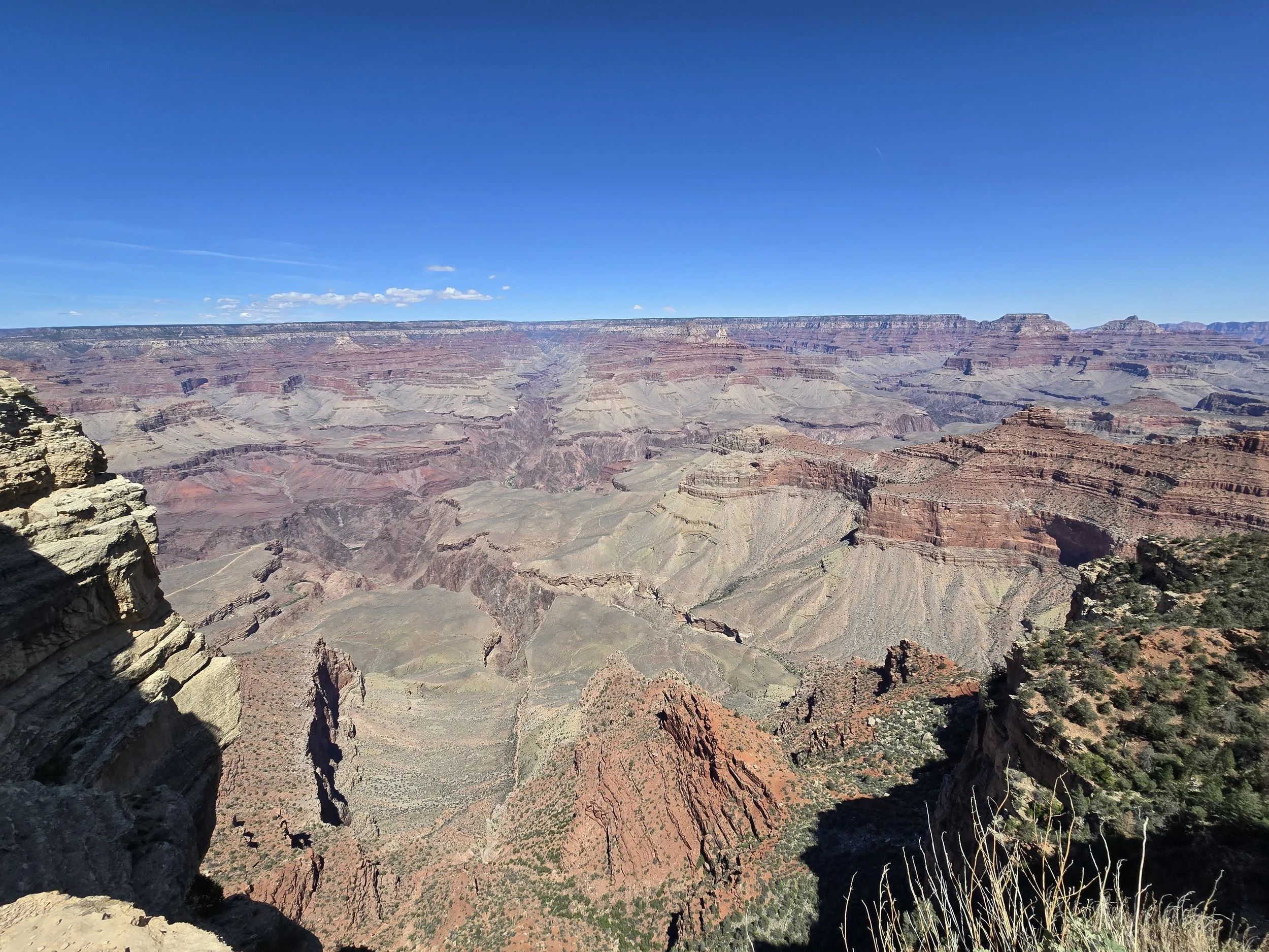
Another Grand Canyon view, from the Geology museum. The is going to be a lot of these.
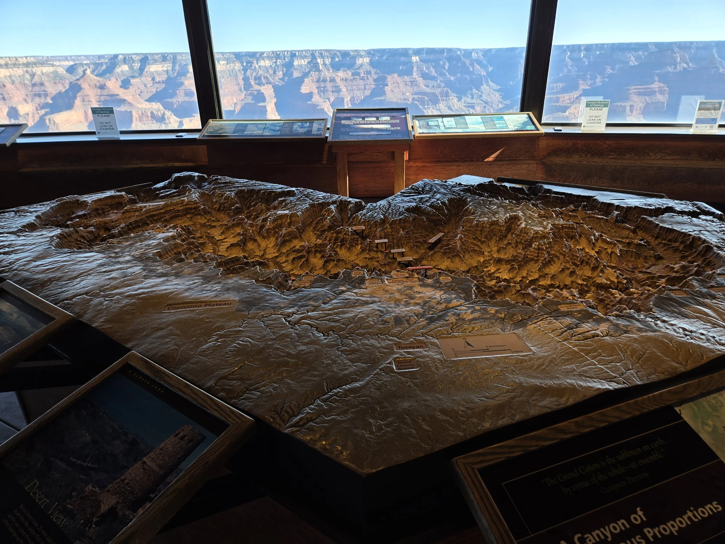
A model of the canyon in the museum.
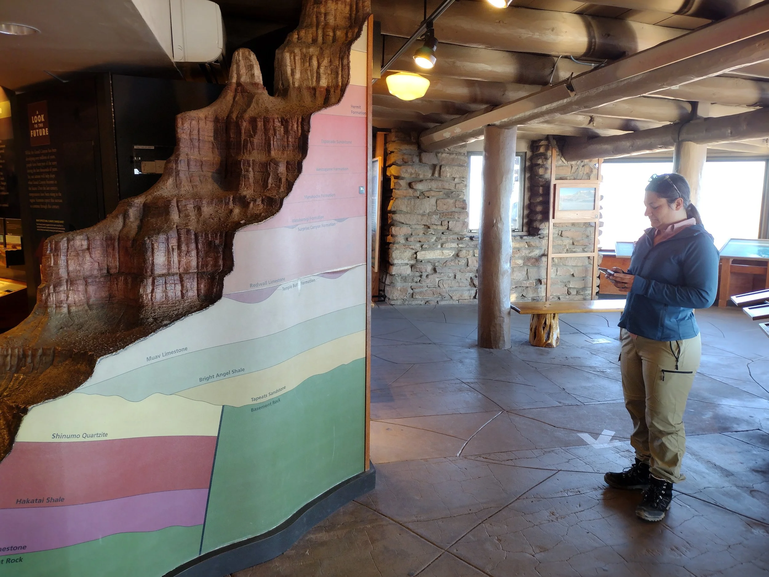
Cerissa in front of the Geologic Time model, showing the different layers the Canyon has.
Now that we understood the geology of the immense canyon we found ourselves in, it was time to do our first hike!Hiking the Grand Canyon, as they remind you everywhere, is a serious venture. You CANNOT hike to the bottom and back in one day. There aren't as many hikes as there were in Joshua Tree, but there are several trials with different markers to show how far they are. Always remember that you will have to go back up again. The first part, going down is a ton of fun, but back up can be brutal, so keep that in mind when choosing a hike. The first hike we did was the South Kaibab Trail to Ooh Ahh Point. Since we are both very causal hikers, we chose to do the easiest ones. The Grand Canyon village has mostly log cabin style lodges, gift shops, visitor centers and museums. There are several viewing platforms and parking lots at multiple different points. Not all of them allow cars so you have to use a bus to reach different points. It changes depending on the season. All this is to say we had to enter the South Kaibab Trail via a bus from the main Grand Canyon visitor center. Places To Go - Grand Canyon National Park (U.S. National Park Service)
Link to the village routes. Hiking to Ooh Ahh Point has a lot of switch backs and like basically every trail except the rim trail going down is amazing but back up is difficult. Definitely take some breaks on the way up. 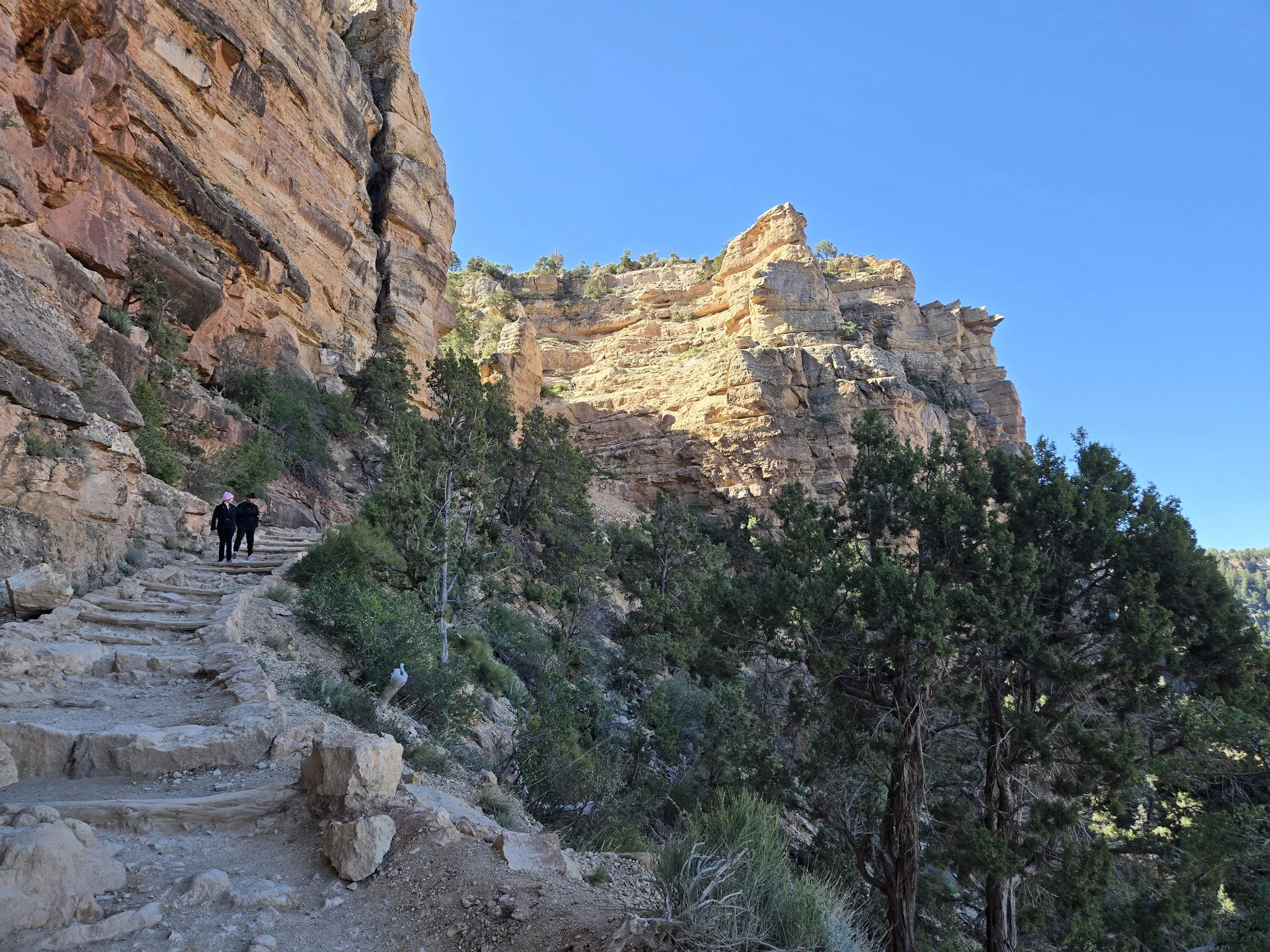
The path down the Kaibob.
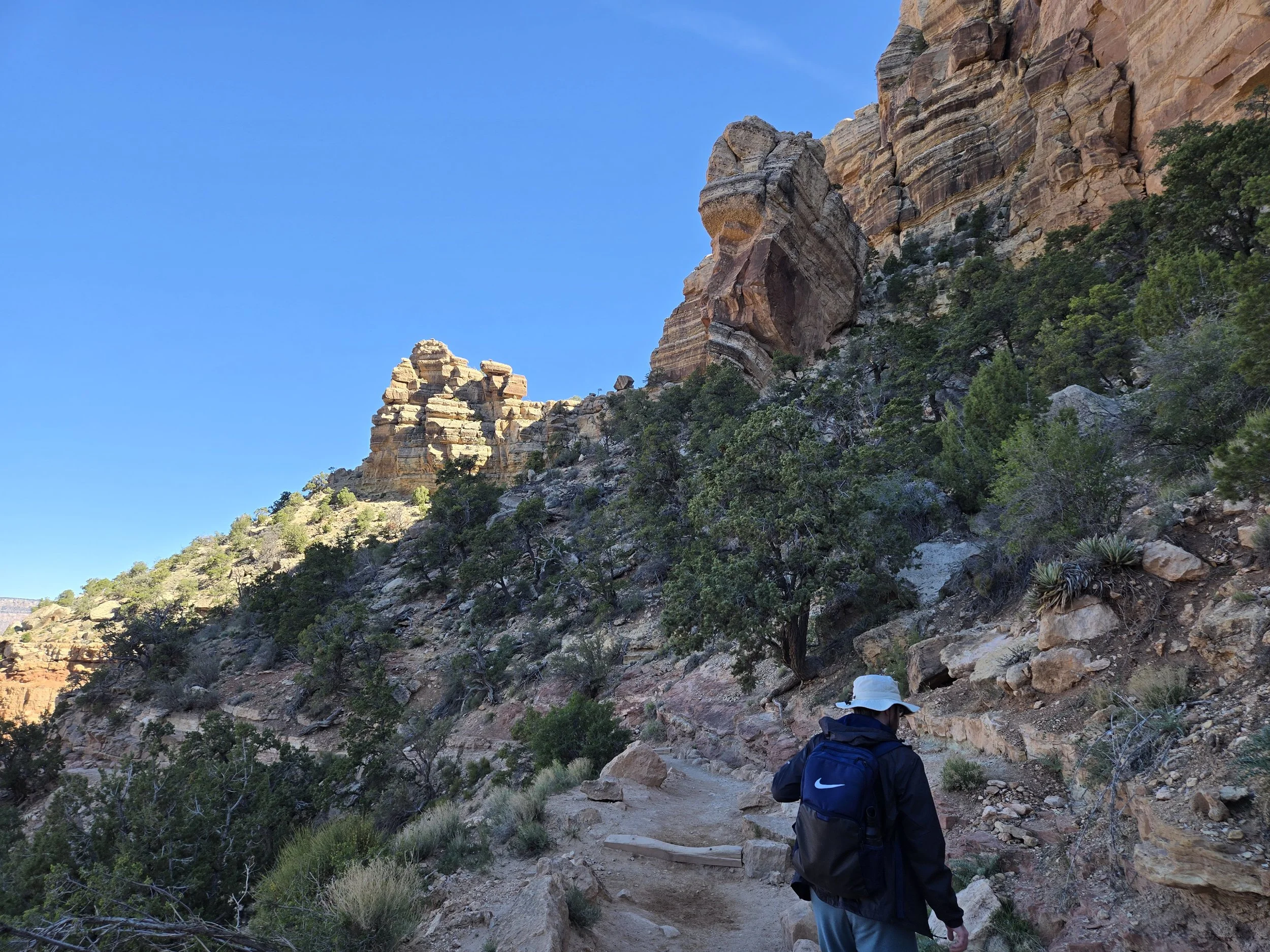
Being in the canyon was a new experience. The Grand Canyon is so big and crazy looking that it almost doesn’t look real. Hiking in it confirmed it was in fact real.
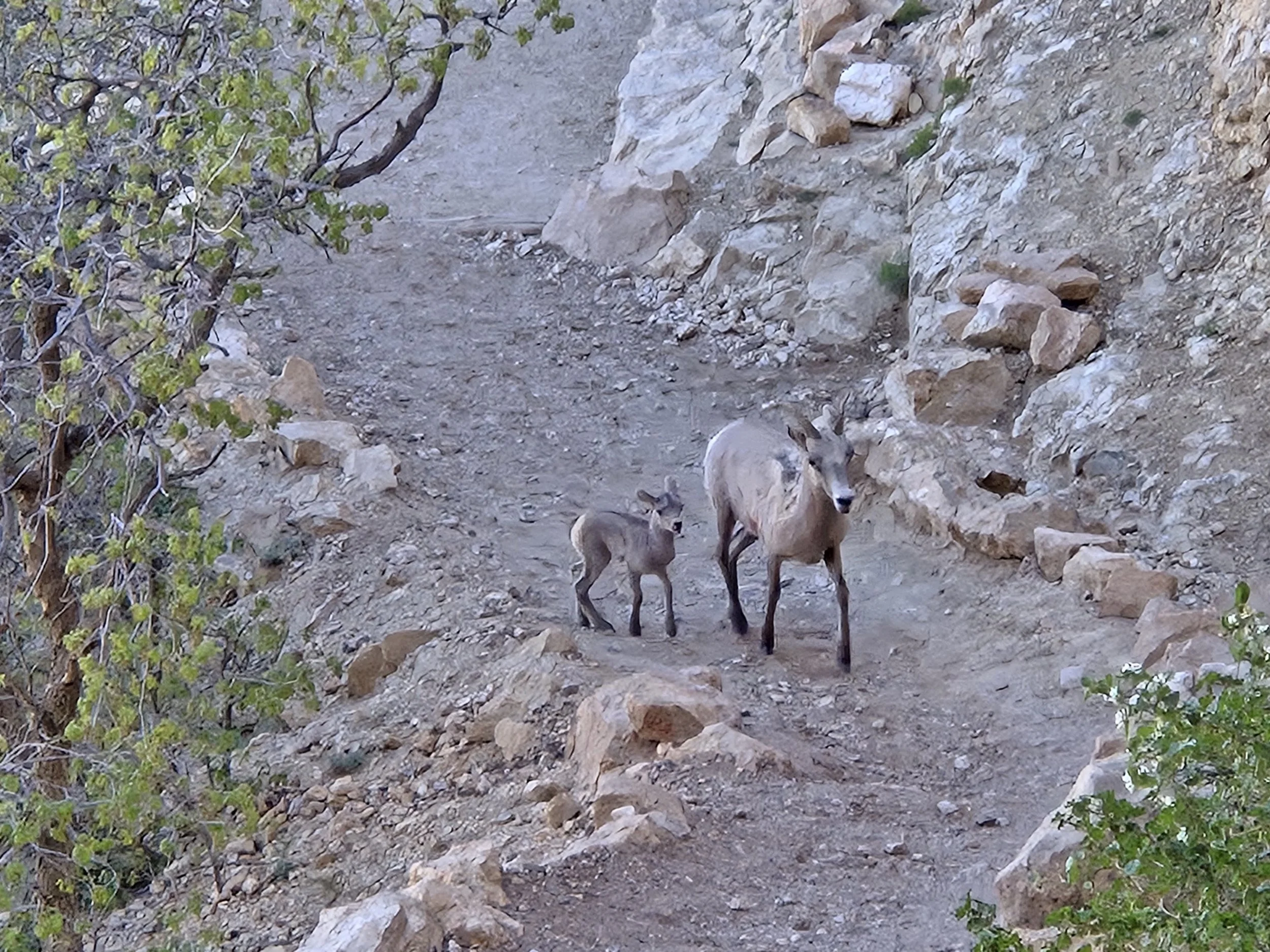
Saw an Elk and her baby.
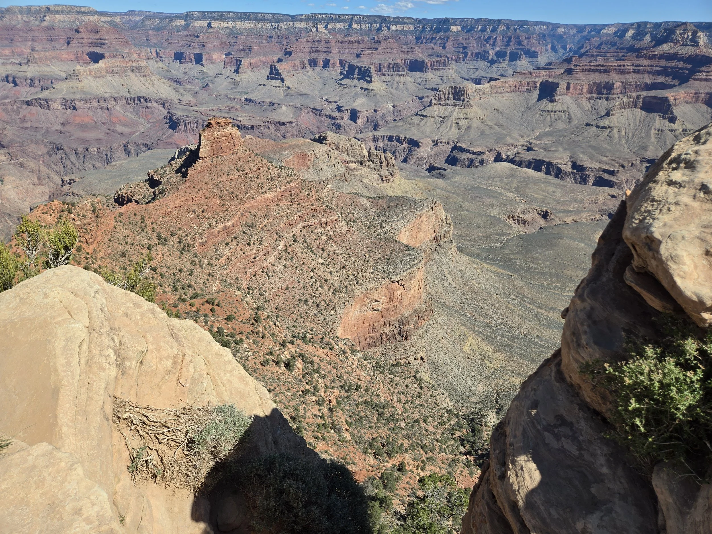
The Ooh Ahh point.
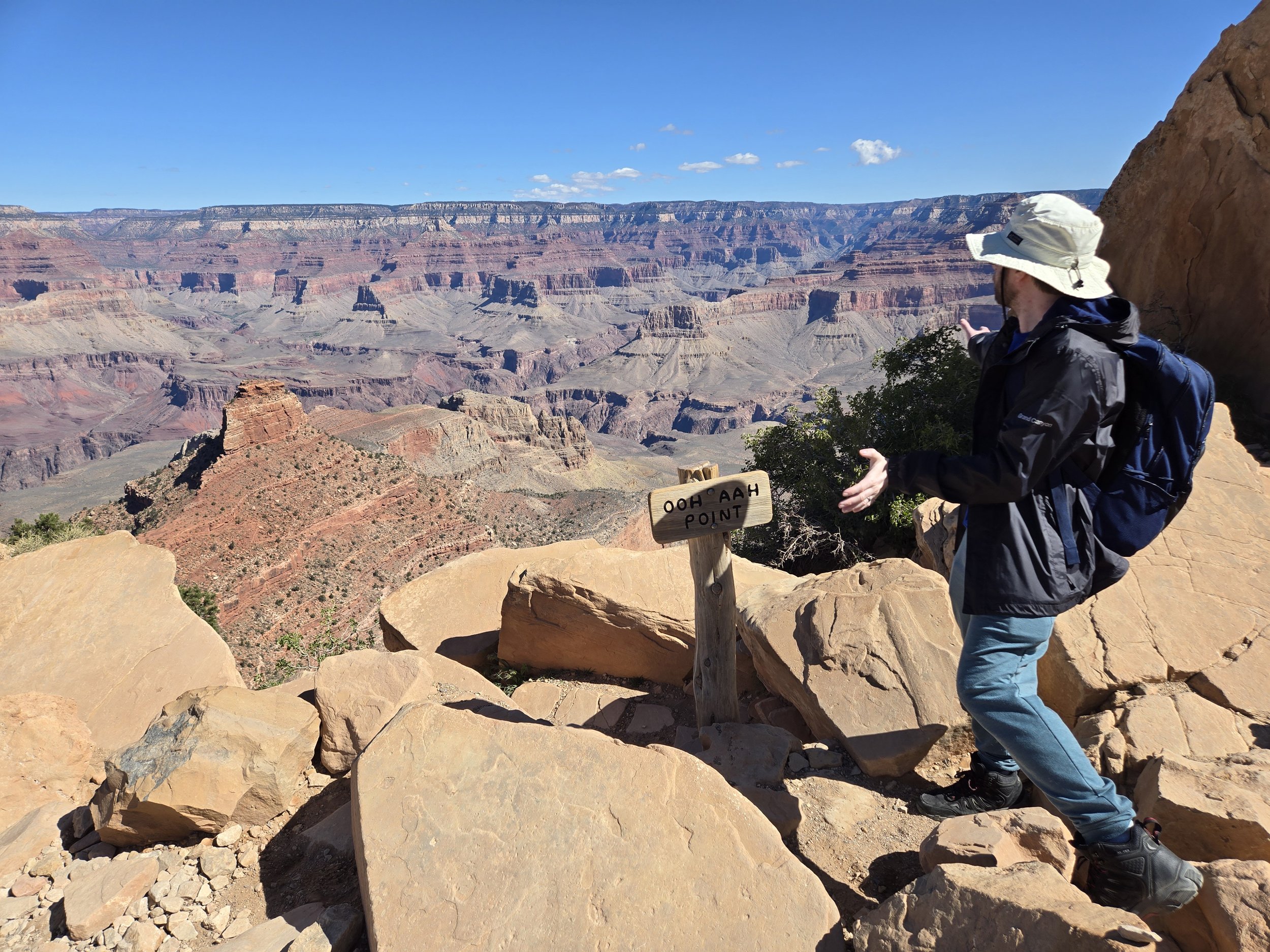
Ooh Aahing.
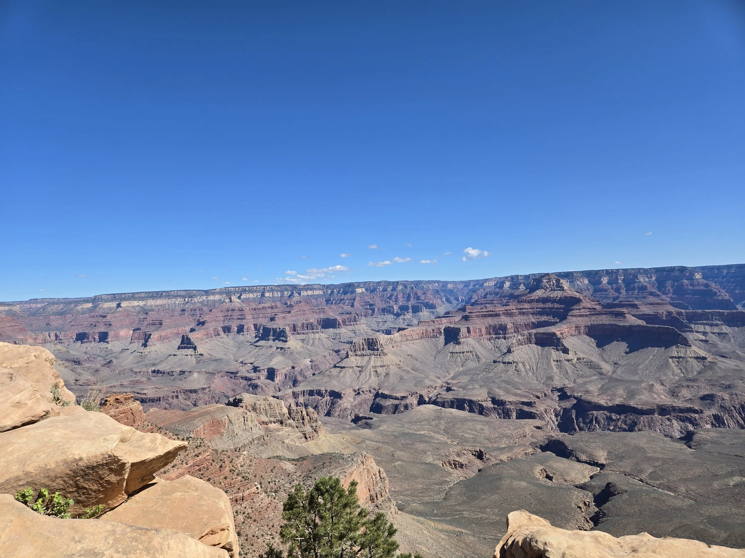
We hiked down but still not even close to the bottom.
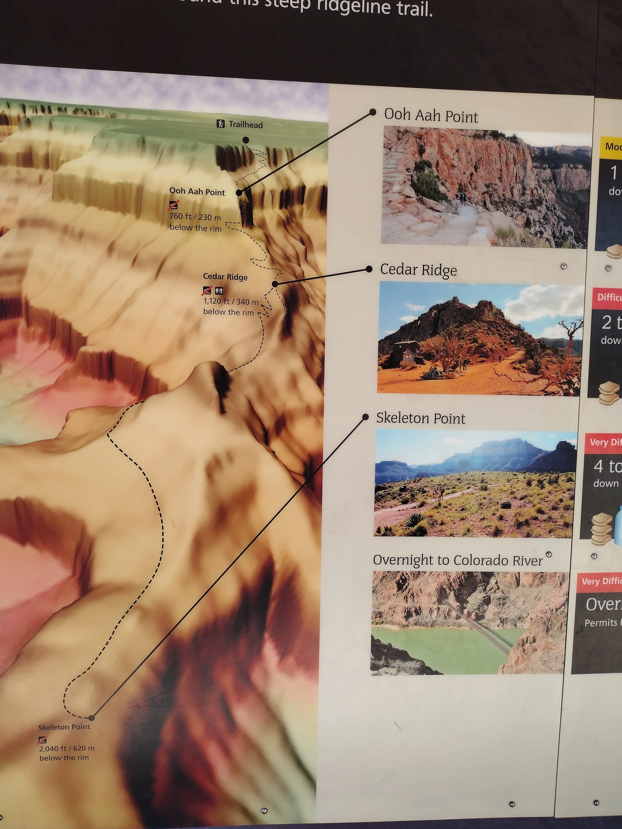
A cool model of the trail. You can see Ooh Ahh point, which looks like it was barely benow the rim, but boy did it feel longer.
We took the bus back to the visitor center and then back to the Geology Museum where we heard a quick Ranger led talk about the geology of the Canyon, which is where I got most of the information I shared earlier. 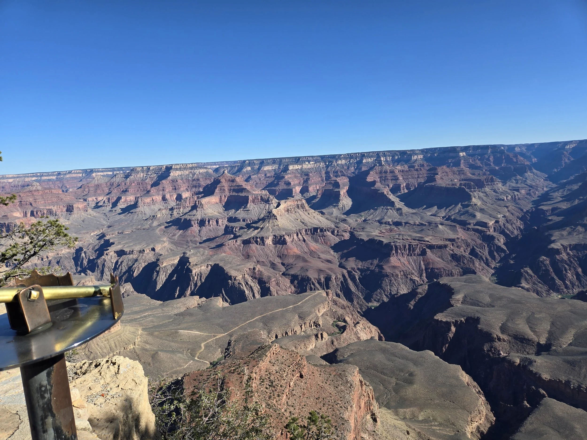
The rim view closer to the Geology Museum. You can see the deep jagged path of the Colorado River.
We did a little hiking on the Trail of Time, which is a fun path along the Rim trail next to the Geology Museum. It marks years on the ground and gives information about the history of the canyon. It mentions Native American tribes who built stone granaries lower in the canyon near the river. We looked and looked but you can’t really see any from the South Rim. 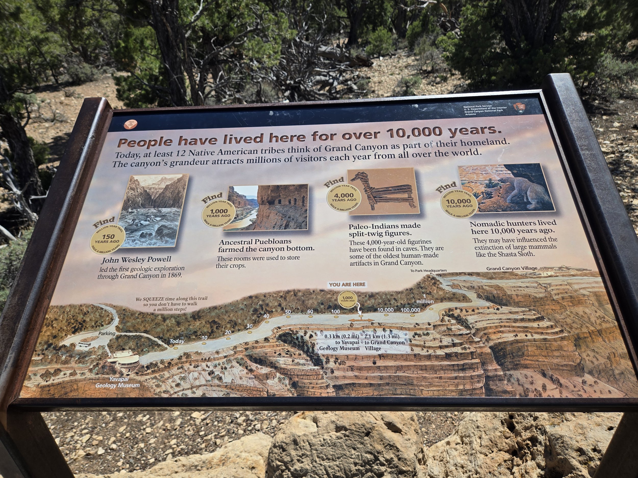
One cool panel showing the trail of time and the early settlers from thousands of years ago. Would have loved to see those Puebloan dwellings, will have to come back to the southwest to see some.
After walking along the rim trail of time for a little but we decided to drive to another viewpoint, the famous Desert View Watchtower. Along the way on the map we saw the Tusayan Ruin which is the stone ruins of an old Peublo site.

We tried and tried but could not find the ruin. It looked like the road was closed due to a down tree, but the GPS tried to take us into the woods and we had to ignore her. It was a real let down as I really wanted to see some old ruins of the Pueblo people. Driving near the edge of the canyon is a little scary, even though your really nowhere near the actual edge.
The Desert View Watch tower was built by Mary Colter in 1934. Like the Hopi House, it was designed to based off of the centuries old Native pueblo dwellings at the Grand Canyon. The watchtower is free to go up but you do need to check in and get a timed ticket. We snagged the last two for the day. They give a short explanation of the tower and its archeological nodes to the history of the Native tribes in the area before you get to go up. The inside of the tower has the clay abode walls with a plethora of reproduction of Native American art. All of the art found in the tower is art that was actually found somewhere in the Grand Canyon itself. 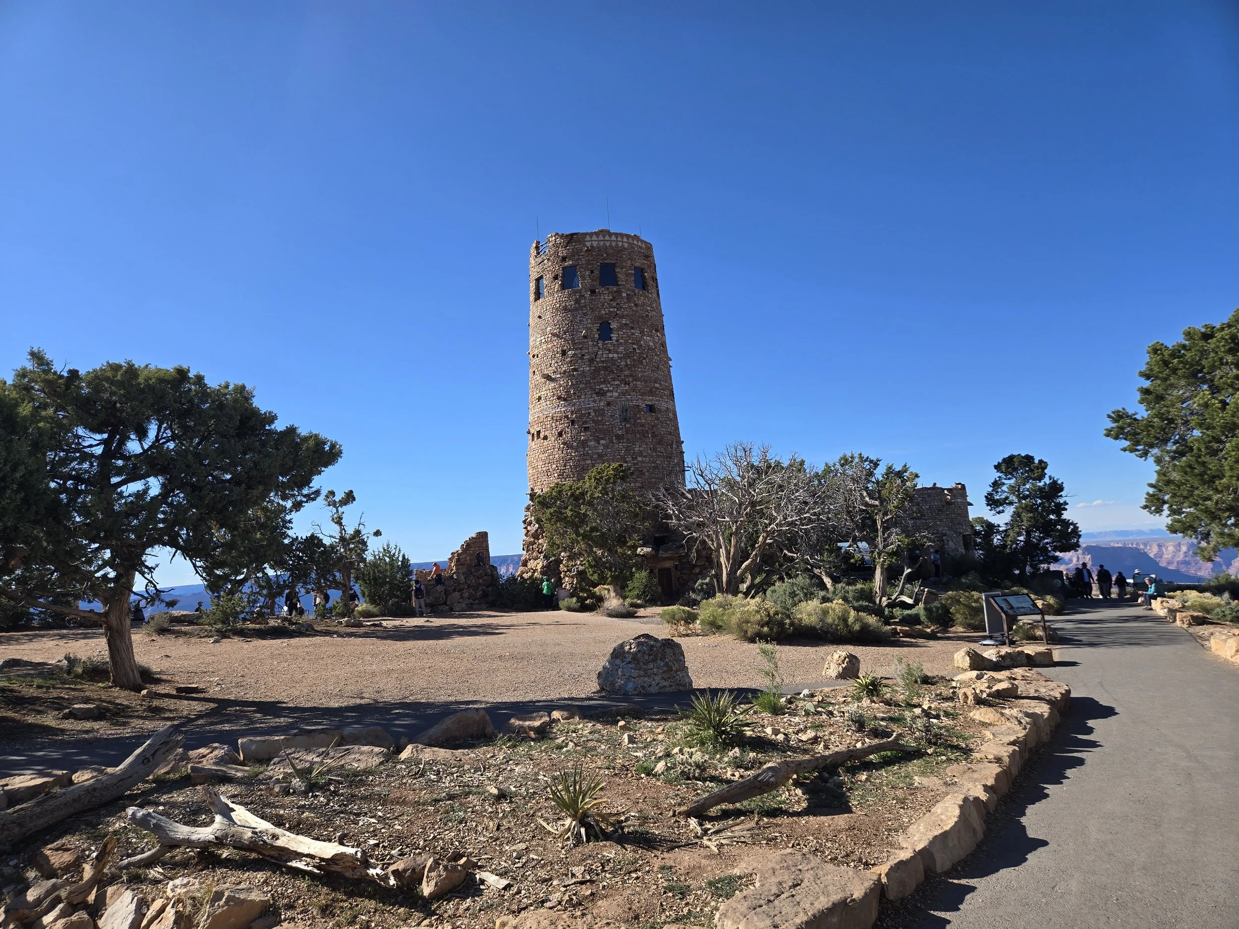
Approaching the tower from the walkway. It is perched awesomely at the edge of the Canyon to get a good view.
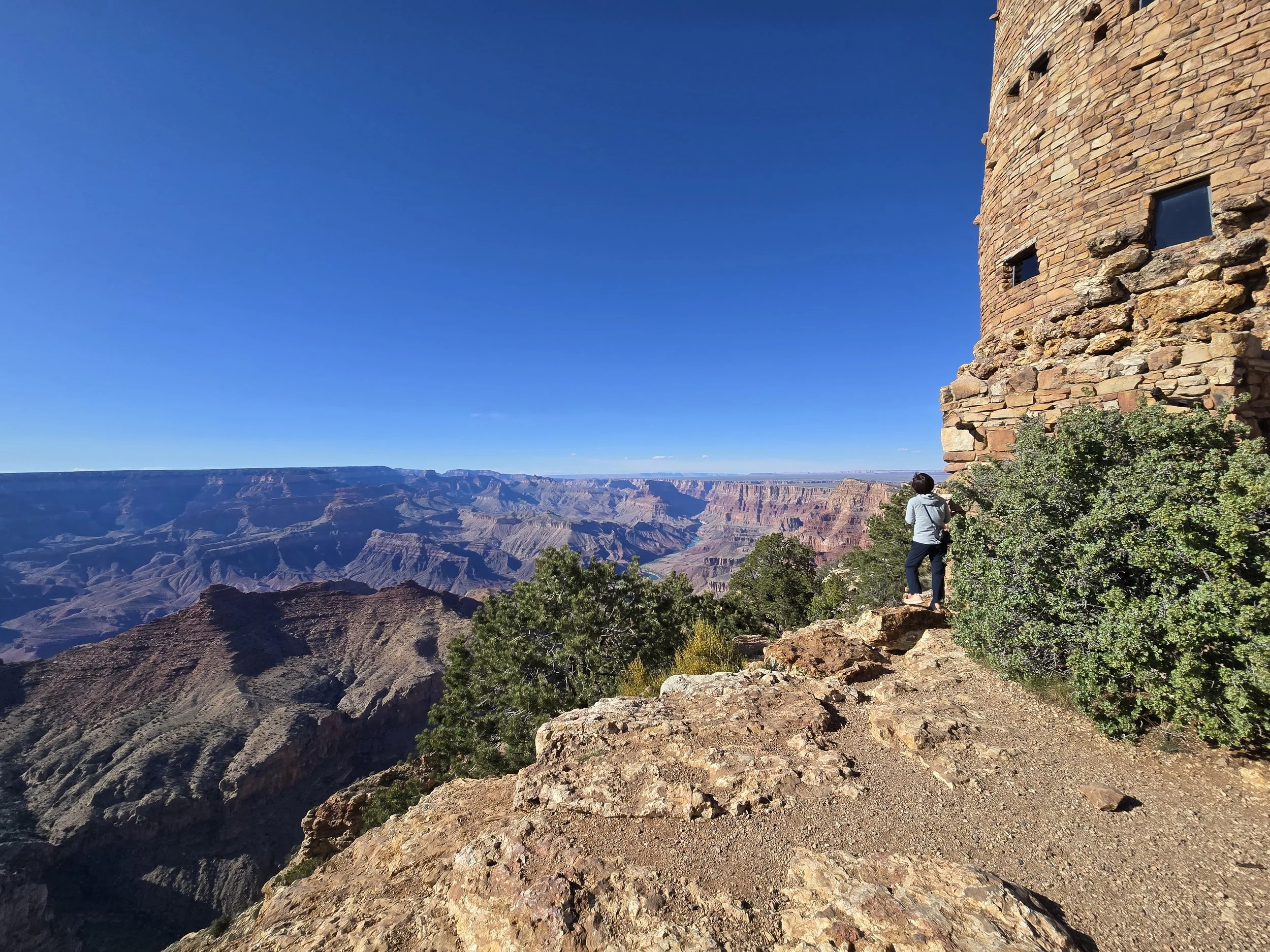
I like how close you are allowed to get to the edge.
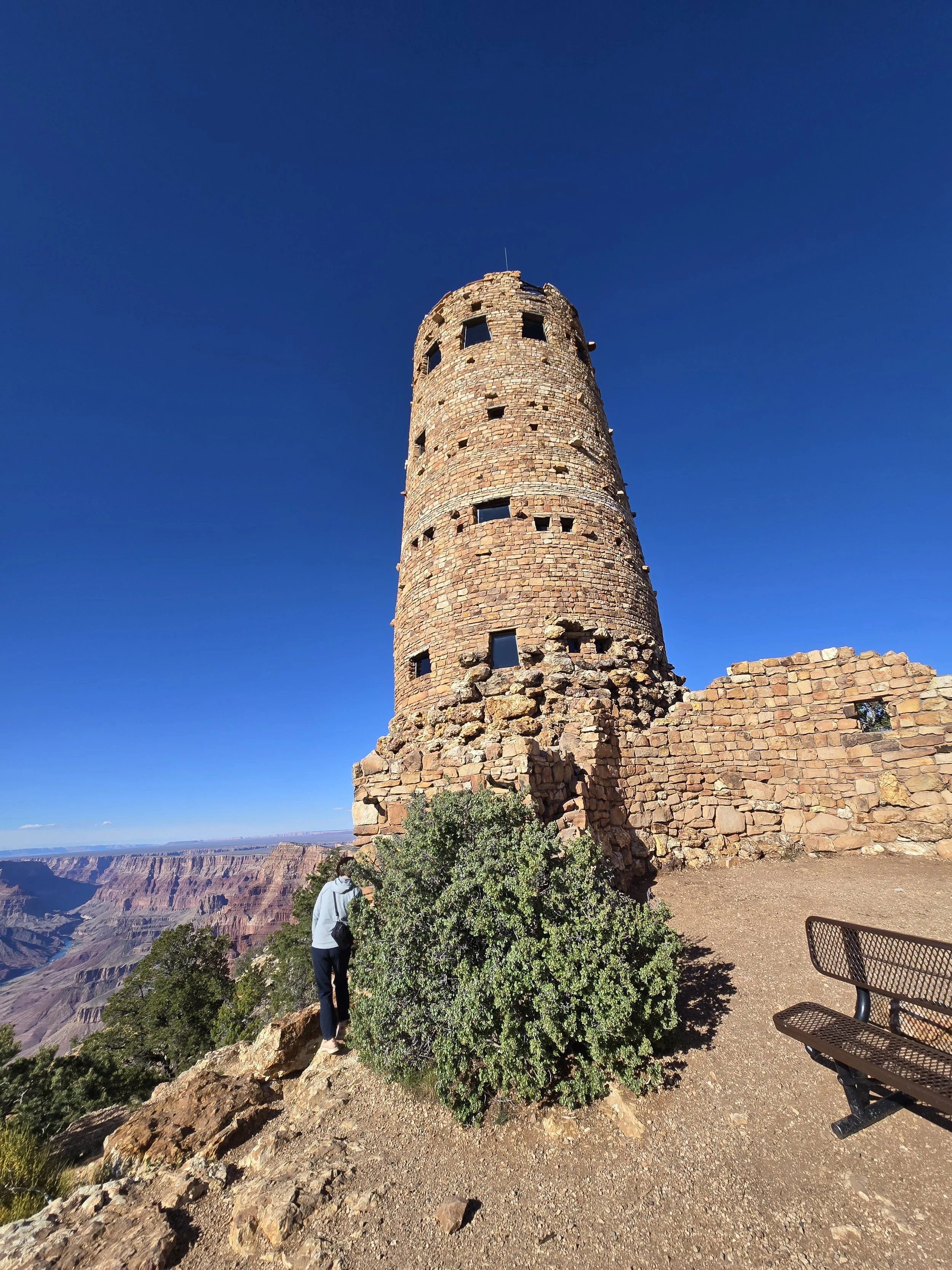
The tower perched on the edge of the Canyon.
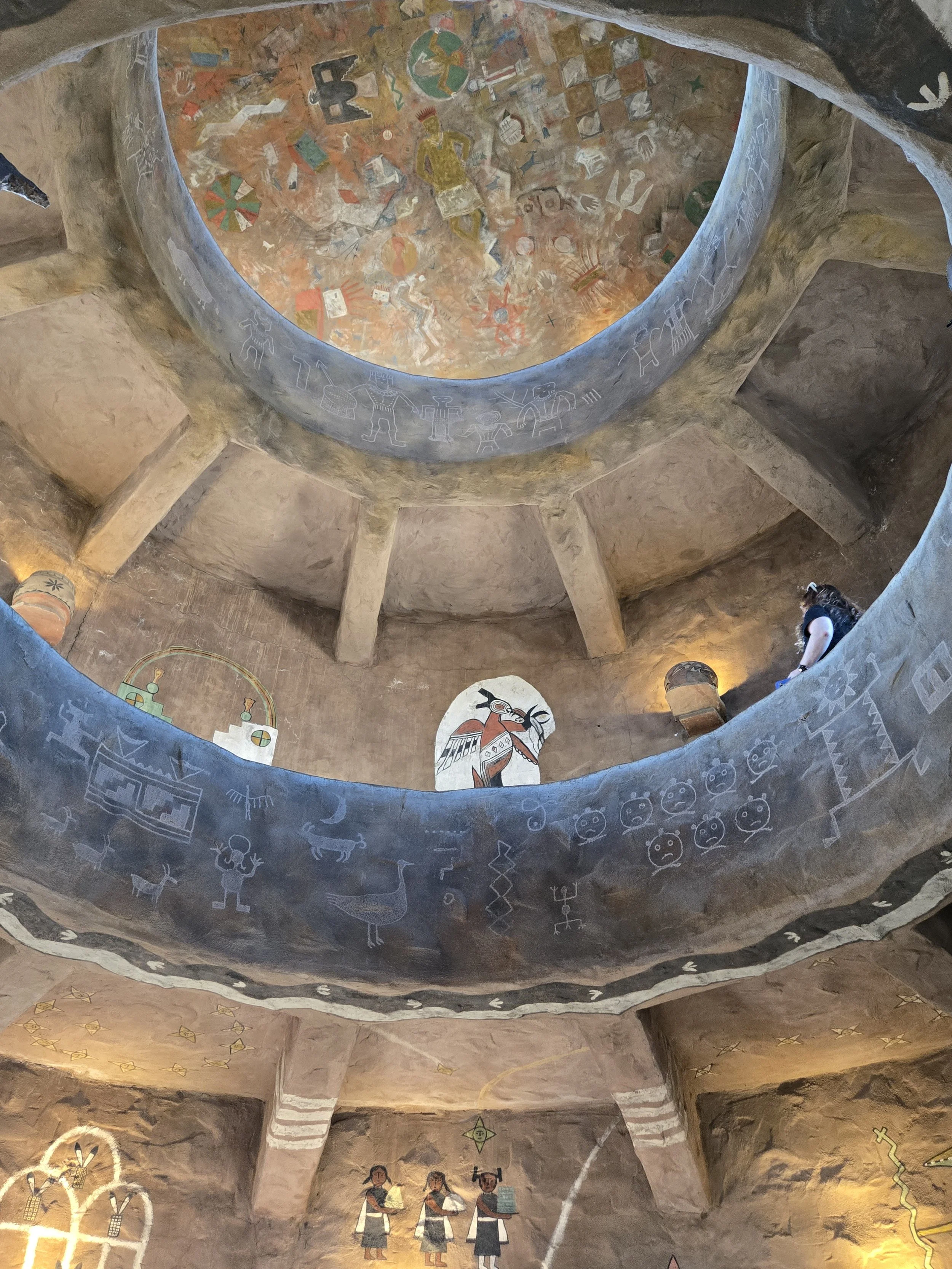
Beautiful Abode interior of the tower. It was built in different tiers with the middle open so you can see all the reproduction artwork up to the ceiling.
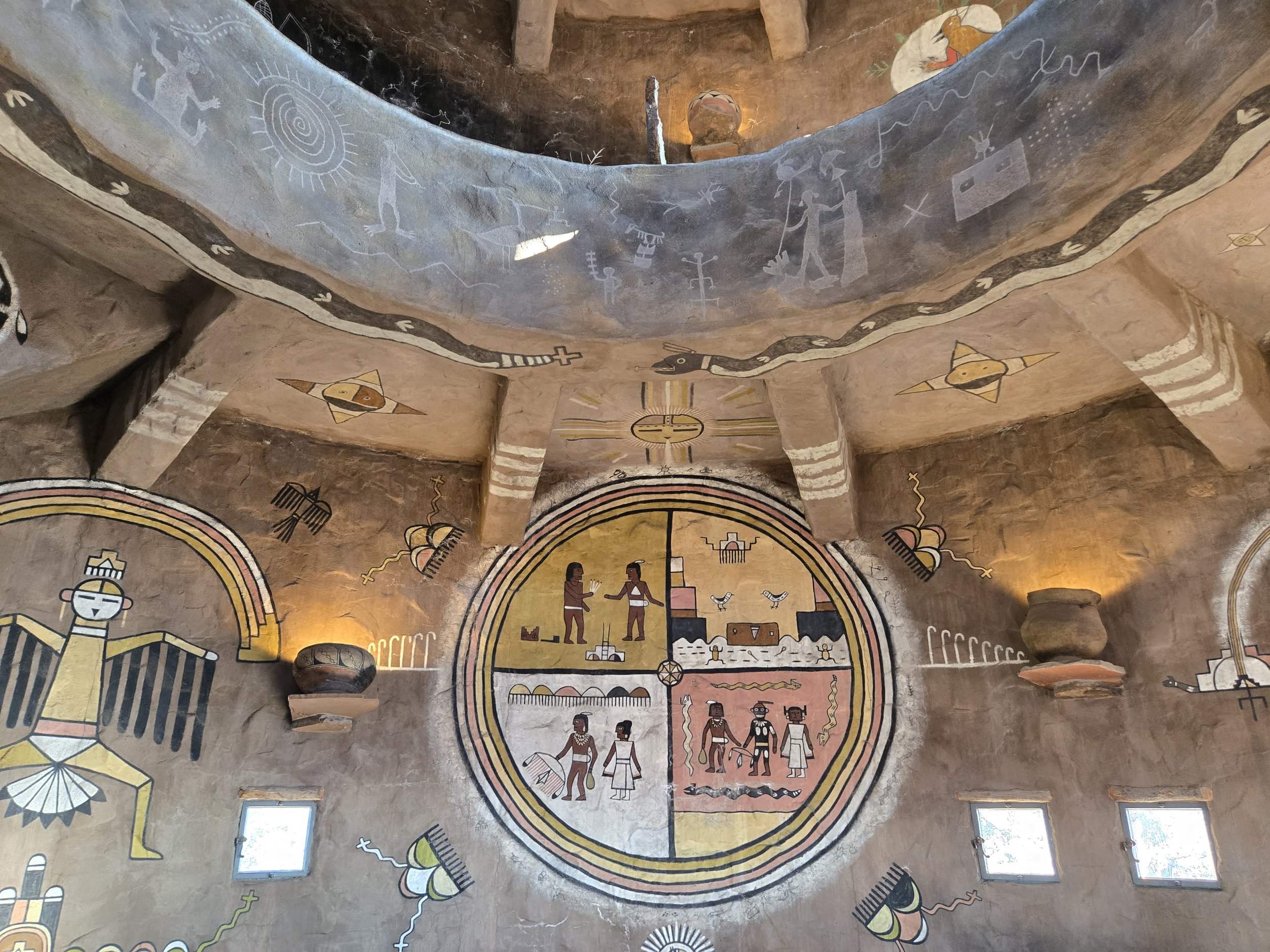
More Native American Art.
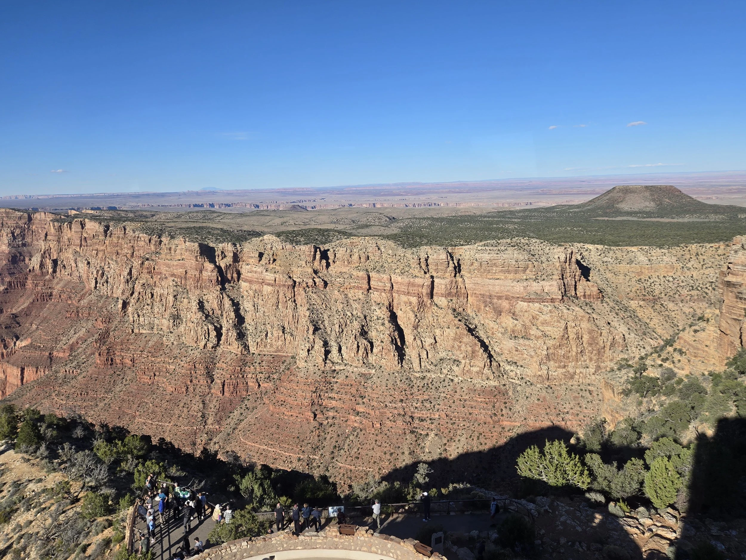
A view from the tower showing one of the dormant volcanoes near the edge of the canyon. I had no idea there were dorment volcanoes near above the rim of the Grand Canyon.
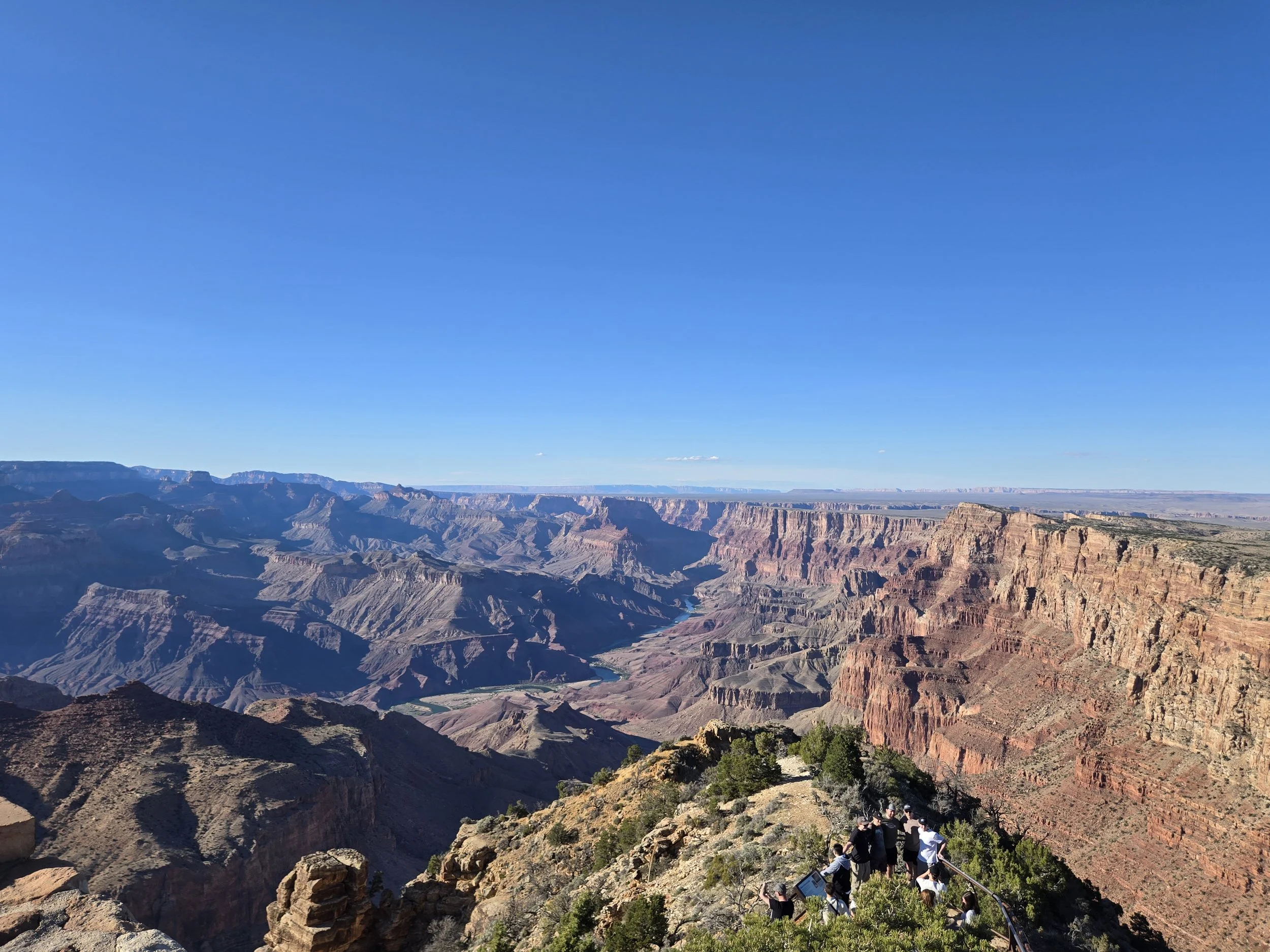
The view from the tower of the Colorado river was the best we had the entire trip.
The tower was our favorite of all the buildings on the edge of the Canyon. Most other buildings were mostly gift shops, and while the Desert view watchtower also had a small gift shop, the area of the tower itself was all about the Native American Art. One thing I liked was they had actual centuries old petroglyphs found in a Native dwelling nearby the tower. The sign said you could see the Native American cliff dwelling from the tower where the petroglyphs were found, we looked and looked but could not find it. It was the most authentic experience on the rim. That night we took our coupon that our hotel gave us and ate across the street at the Canyon Star Steakhouse & Saloon. This was within a more expensive hotel The Grand Hotel at the Grand Canyon (I guess it was pretty Grand). It was a much cooler looking hotel but glad we saved money at our hotel which was perfectly fine for our needs. The Steakhouse Saloon had some very good old west theming. I had a burger and it was very good. For some reason this entire trip I was mostly having burgers, not really sure why. Cerissa had a steak and some kind of fruity alcoholic drink. I can't remember the desert we had but I'm sure mine was some kind of brownie or chocolate. I was surprised to see the Saloon doesn't have that good a rating. We did have a bit of a wait but nothing out of the norm. It was completely dead in the restaurant, and we were even warning that there would be a bit of a wait since there was one large table, but not sure why that would matter since the rest of the place was dead. The wait wasn't very long though anyways. We planned our next day to again start early with a hike and then mosey around to the other side of the rim that we hadn’t seen yet. Day 9: The Brightest Angel
Bright Angel Trail is the most popular of the trails that descends the Grand Canyon. It is accessible right at Grand Canyon Village and you can park anywhere in the village. It's actually very close to the Bright Angel Lodge (almost like one was named after the other!). There is also a pen for the mules right nearby and the barn where some of them are kept. Unlike our older mules, this trail was for the younger mules. We were not using a mule though. We started around eight or nine in the morning and completely beat the rush. The first few legs we were almost completely alone. Just like the other trail, going down is a breeze but going back up was not. Here are the different hikes you can do at Bright Angle, from the National Parks site. We decided to do the Mile and a half rest house, which is a total of 3 miles. It was pretty difficult going back up but rewarding. First Tunnel
0.1 miles (0.2 km) roundtrip / 20 minutes
Second Tunnel
1.8 miles (2.9 km) roundtrip / 1-2 hours / 590 feet (180 m) elevation change
Mile-and-a-Half Resthouse
3 miles (4.8 km) roundtrip / 2-4 hours / 1,120 feet (340 km) elevation change
Water station is on. (updated 4/13/2025) what we did!
Three-Mile Resthouse
6 miles (9.6 km) roundtrip / 4-6 hours / 2,120 feet (645 m) elevation change
Water station is on. (updated 4/13/2025)
Havasupai Gardens - Check with a park ranger before attempting as a day hike.
9 miles (14.4 km) roundtrip / 6-9 hours / 3,040 feet (925 m) elevation change
Water station is on.
Plateau Point and Trail
12 miles (19.6 km) roundtrip / 9-12 hours / 3,080 feet (940 m) elevation change
Consult a park ranger before heading down to the Colorado River. Destinations below Havasupai Gardens are not recommended day hikes due to the long distance, extreme temperature changes, and an approximately 5,000' (1,500 m) elevation change each way.
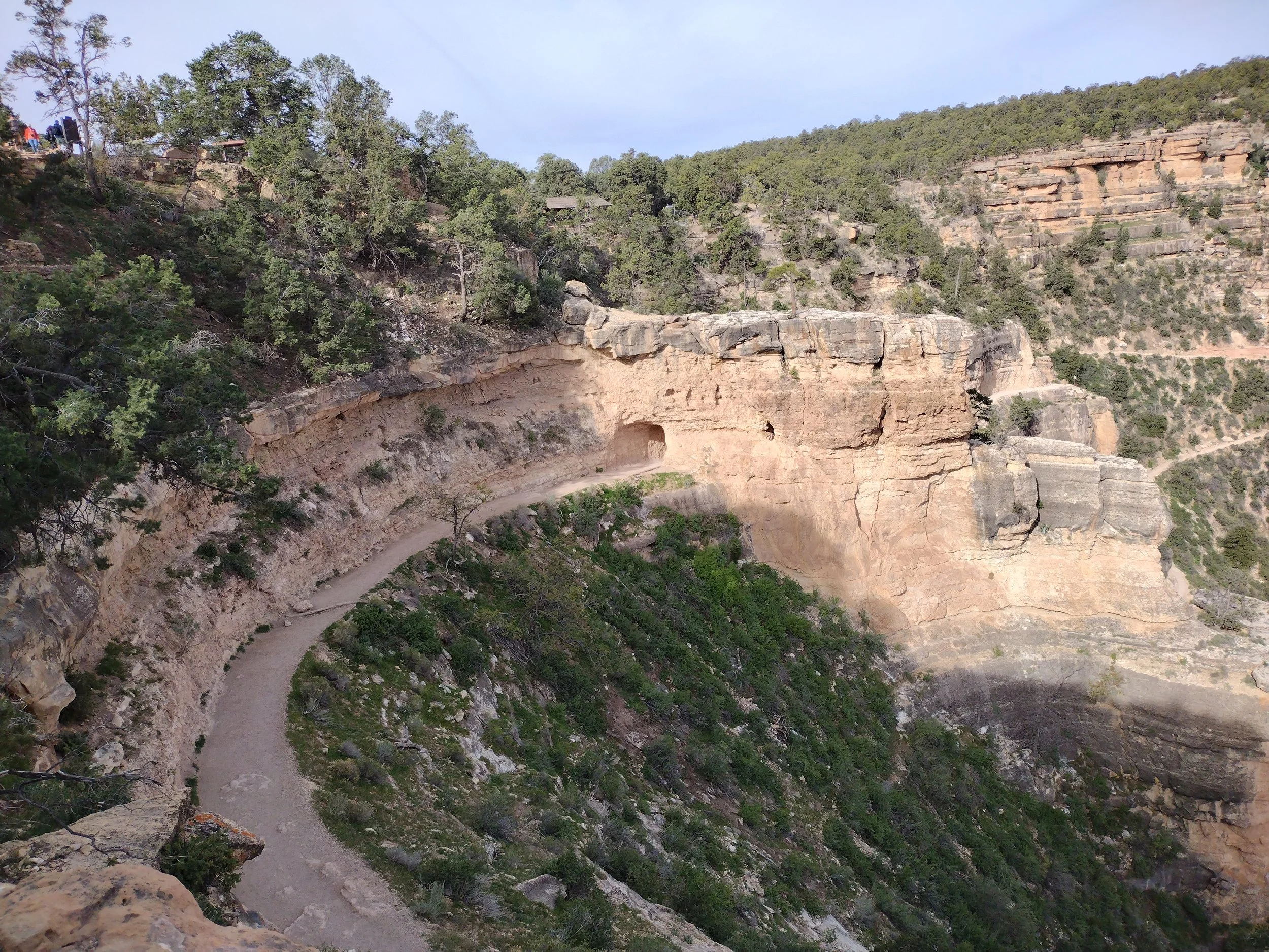
View of the first tunnel through the rock. You can see the early parts of the Bright Angel Trail. To the right you can see the winding path through the trees. The Bright Angel Trail was originally used for by early miners in the late 1800s when mining was still a thing at the Grand Canyon.
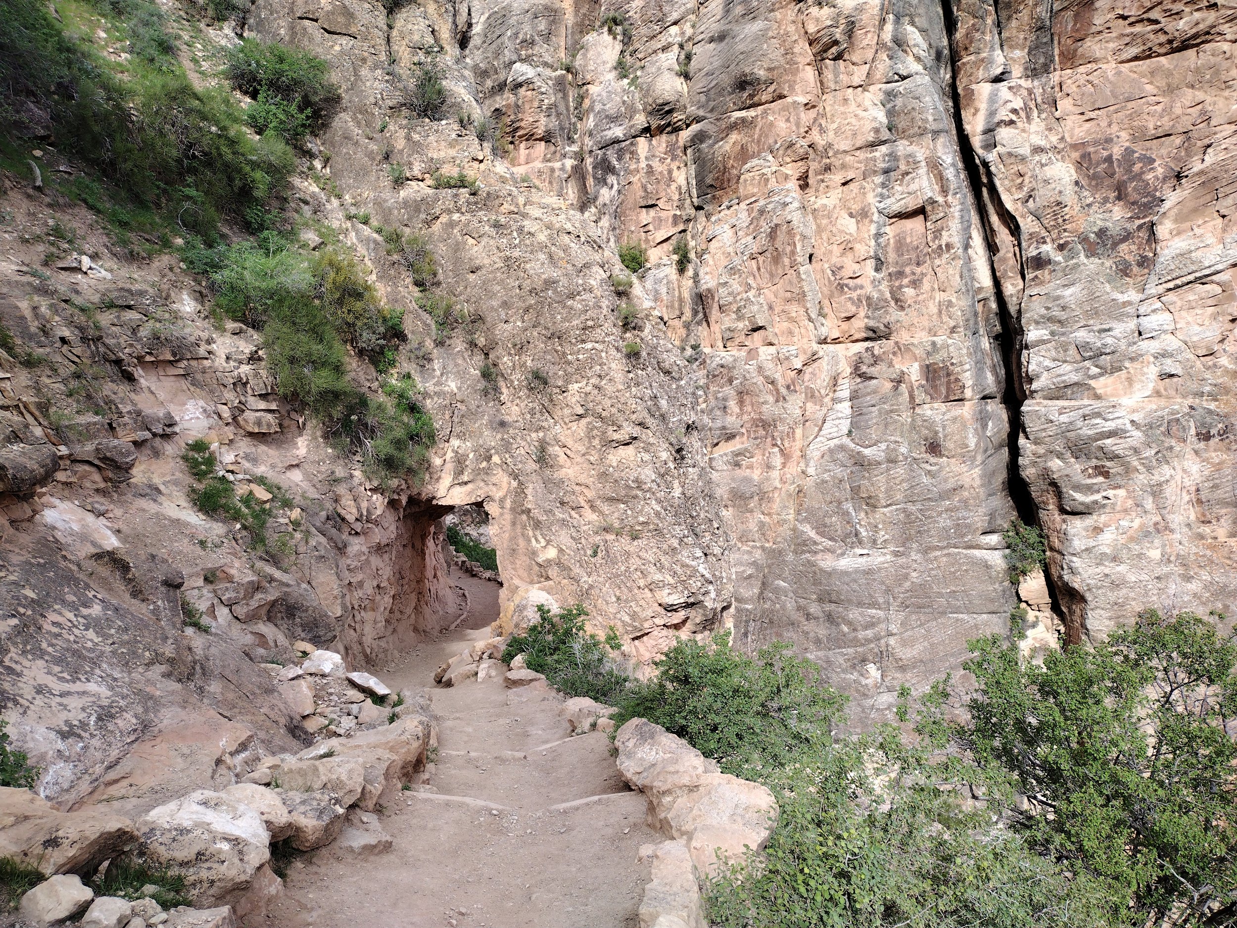
The first tunnel through the rock.
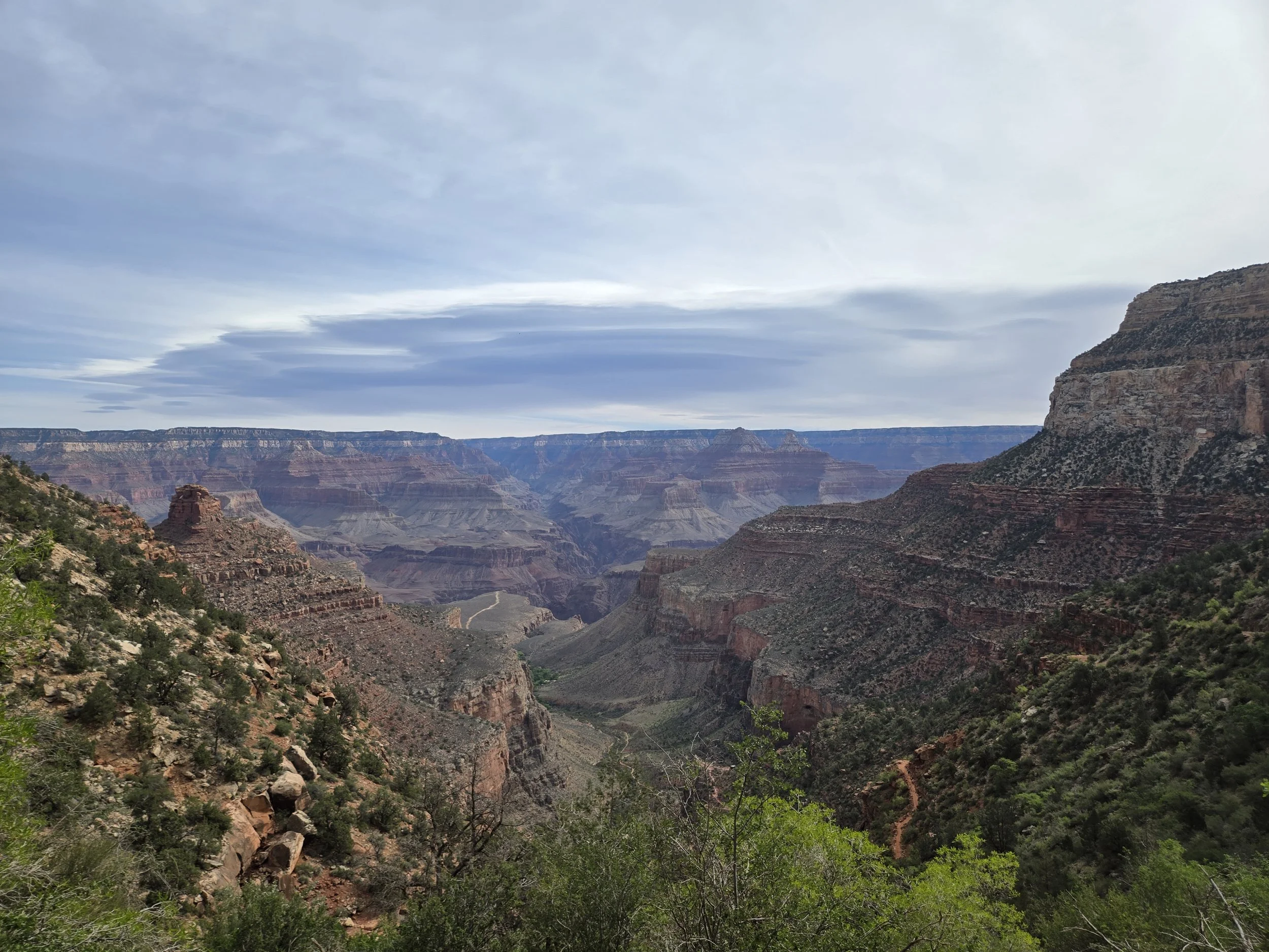
View looking out from Bright Angel.
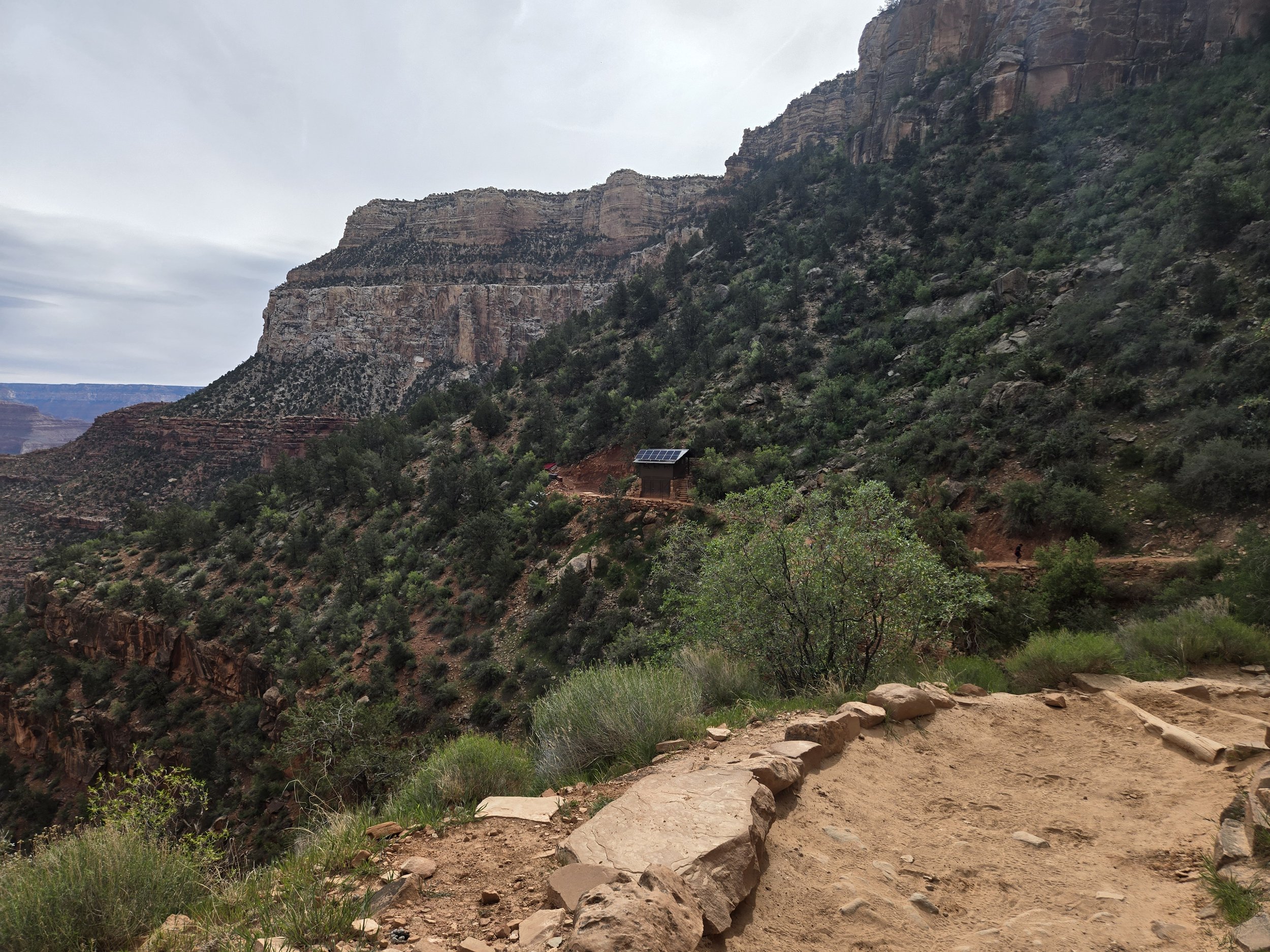
There is the Mile and a half resthouse which was our destination. There wasn’t much more than a bathroom. I think I saw a pavilion with tables, but it didn’t look like it was in use.
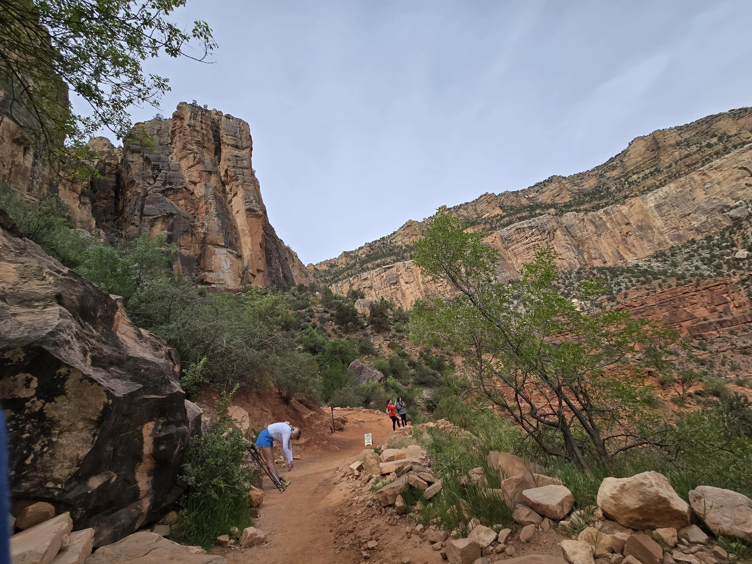
Just outside of the three mile resthouse. I was annoyed because I had to use the bathroom and they were cleaning it, but the staff member was done relatively fast. I felt bad for them because some people were just going in even though it was clearly closed for cleaning.
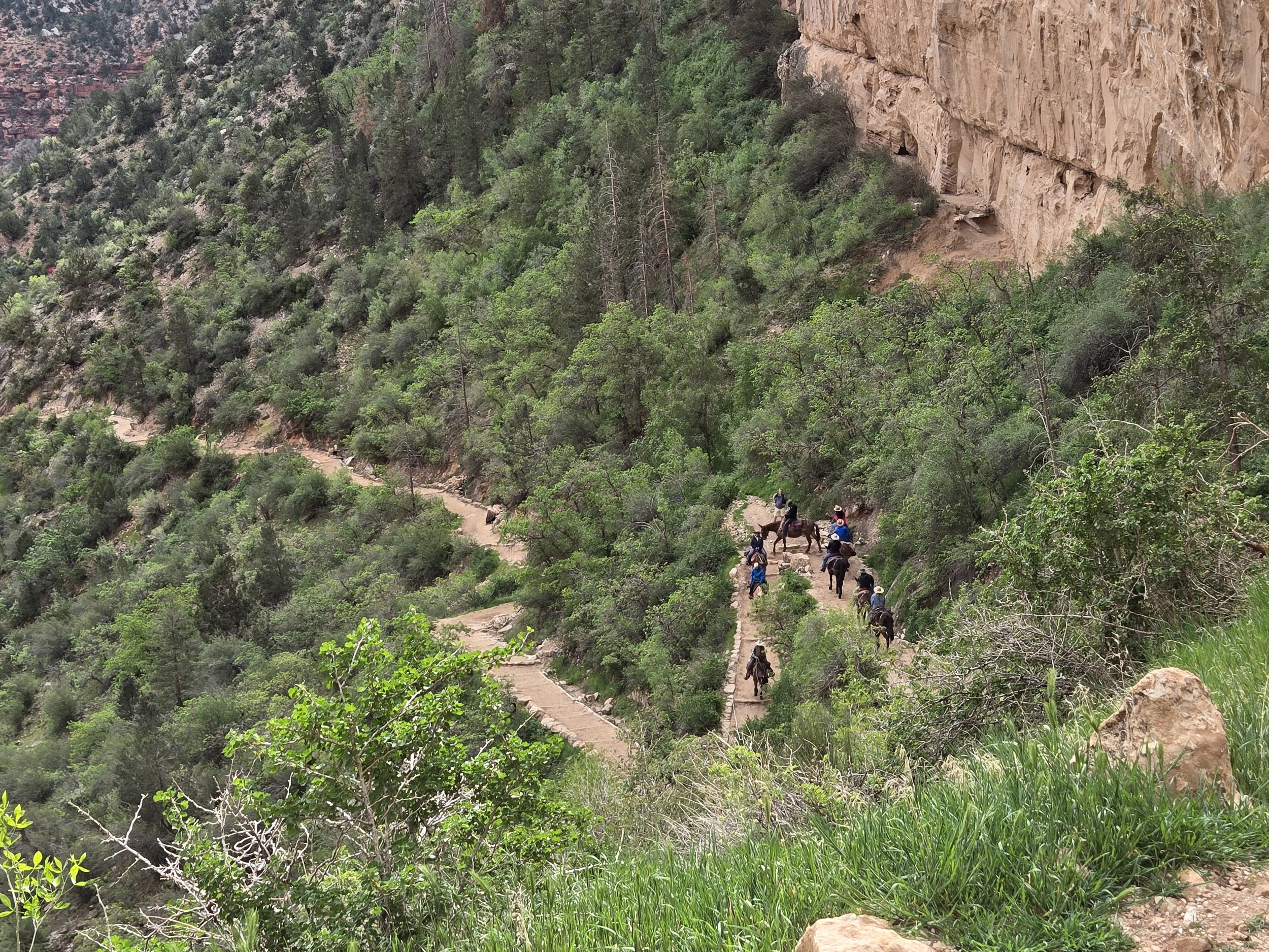
The mules on the path below. A train of mules passed us. You are suppose to give the mules plenty of space and listen to what the mule handler tells you. It was the same lady we had been with on our mule ride yesterday. As cool as it was to see the mules, I don’t think I could go down all the way with mules, as it is a little scary being on them, especially when going down hill.
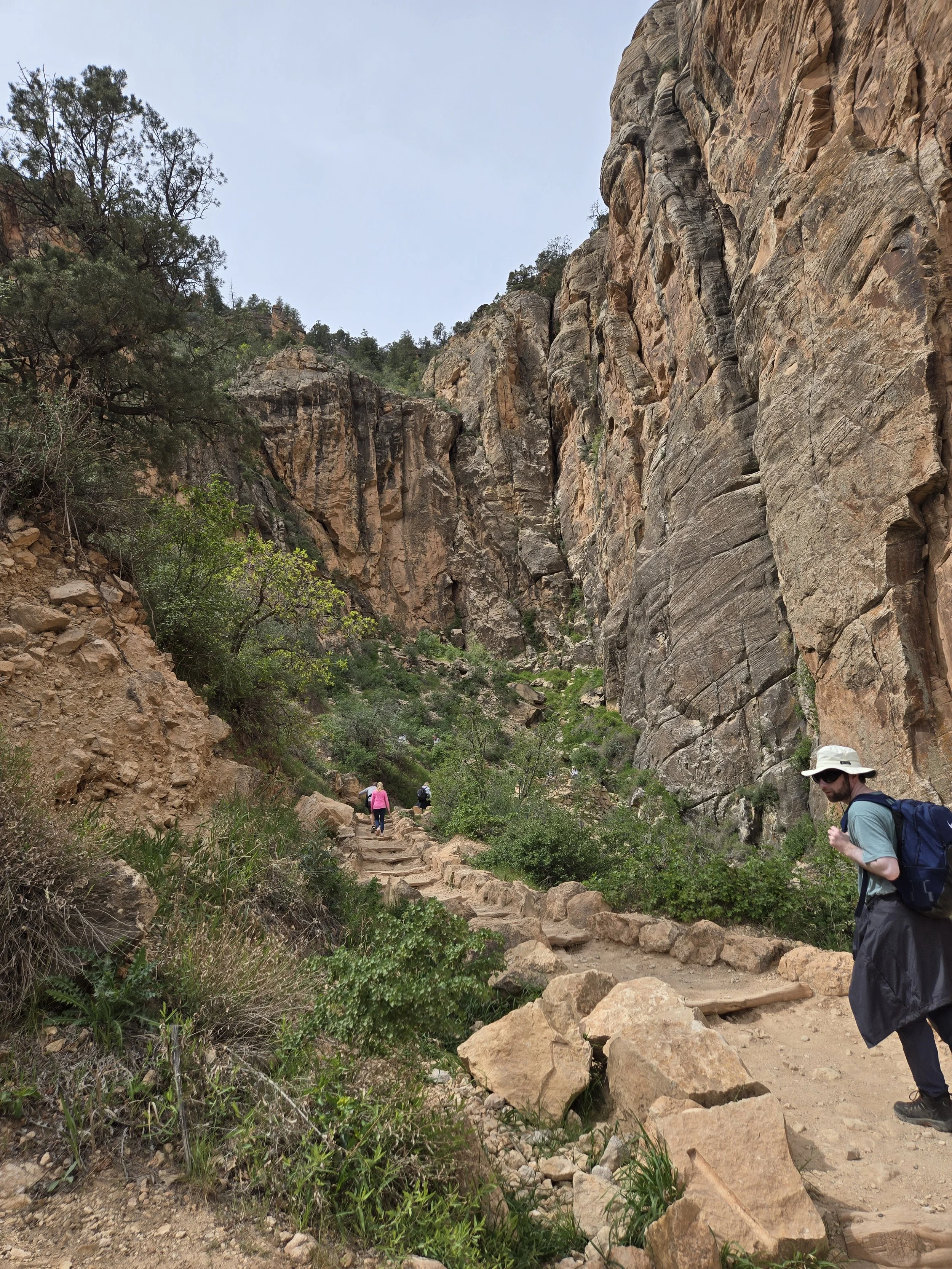
Left: On the trail back up, showing the how low the path went. I like this photo because it shows the large steep rockface of the trail and canyon.
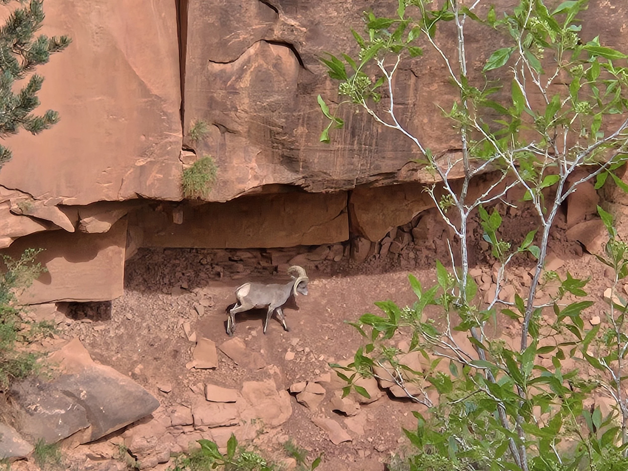
Above: A mountain goat we saw from a distance.
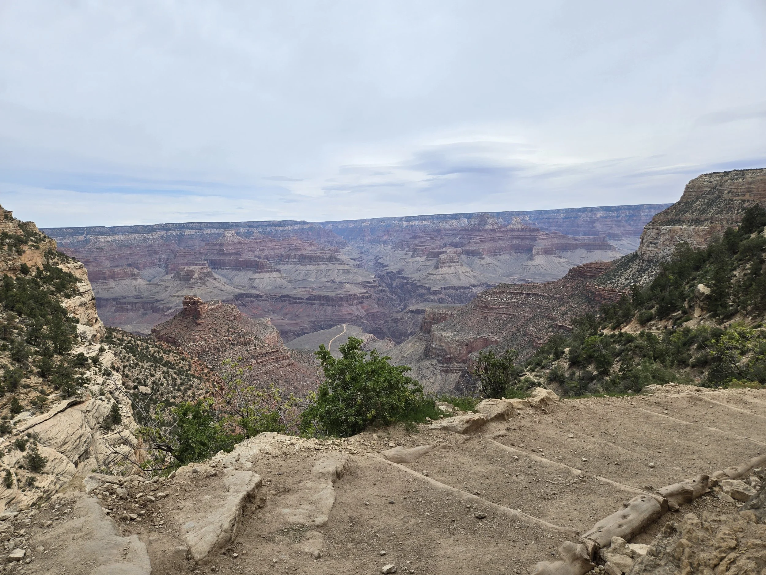
You can see in this picture how close the path was to the edge. It made for amazing views but being a little afraid of heights there were some parts like this that did freak me out a little. You can always go closer away from the edge which helps. It did feel like we were more inside the Canyon than the other hiking trail.
We were both proud of ourselves for conquering another trail. Getting back up was again a real struggle. You just have to take your time and rest when you need to. Everyone was doing this on the way back up because of the incline. I recommend at least doing the first tunnel if you're at the South Rim. Always remember you have to go back up. The National Parks website is helpful and tells you how long the trails are round trip. Once back in the Grand Canyon Village we went to a cafe in the village. It was okay, nothing amazing but decent enough if you want something cheap right there in the village. There was a little Jesus figurine on our table which was clearly a sign that he was proud of the hike we had just done. Since this was our last day at the Canyon we went the other direction that we had not gone before, west of the Grand Canyon Village. This area is only accessible by a shuttle bus, but they run them very often and it's pretty convenient. The bus takes you to several viewpoints with fun names like the Abyss. 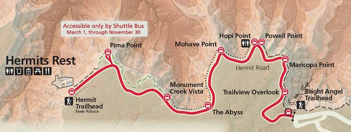
Map of the area west of the Bright Angel lodge and the Grand Canyon Village. This area when we visited was only accessible by shuttle bus when we were there. Map from, Grand Canyon Maps | NPMaps: Free national park maps
Our first point was Maricopa point, which we read about in the National Parks app. One thing that mapes this place unique is how far out into the Canyon it extends, which gives you the feeling of being in the canyon. Another thing that makes this area unique is you can view an old Mine called Orphans Mine from this site. If you look down from the point you can see the original glory hole from the 1891 mine. Later this same mine actually mined uranium so part of the area around it is actually fenced off due to radiation. 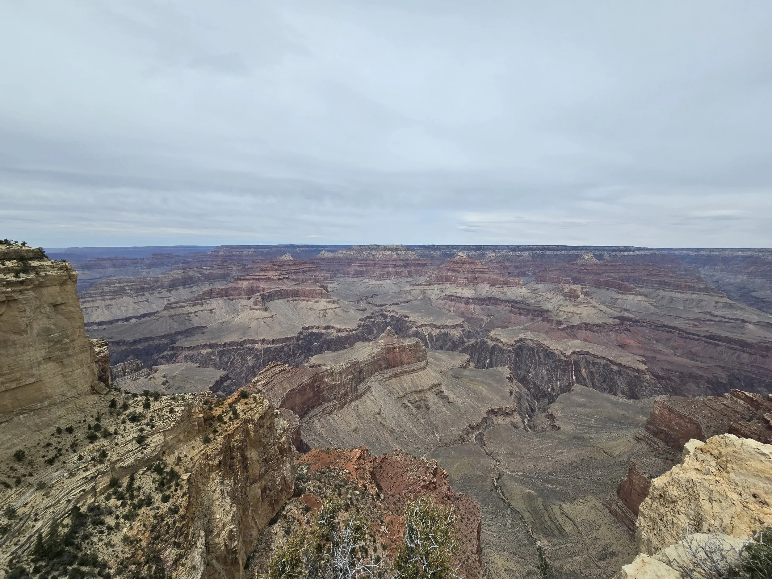
View from Maricopa point. The big trench is where the Colorado River is. Later on, this route we had good pictures of the river.
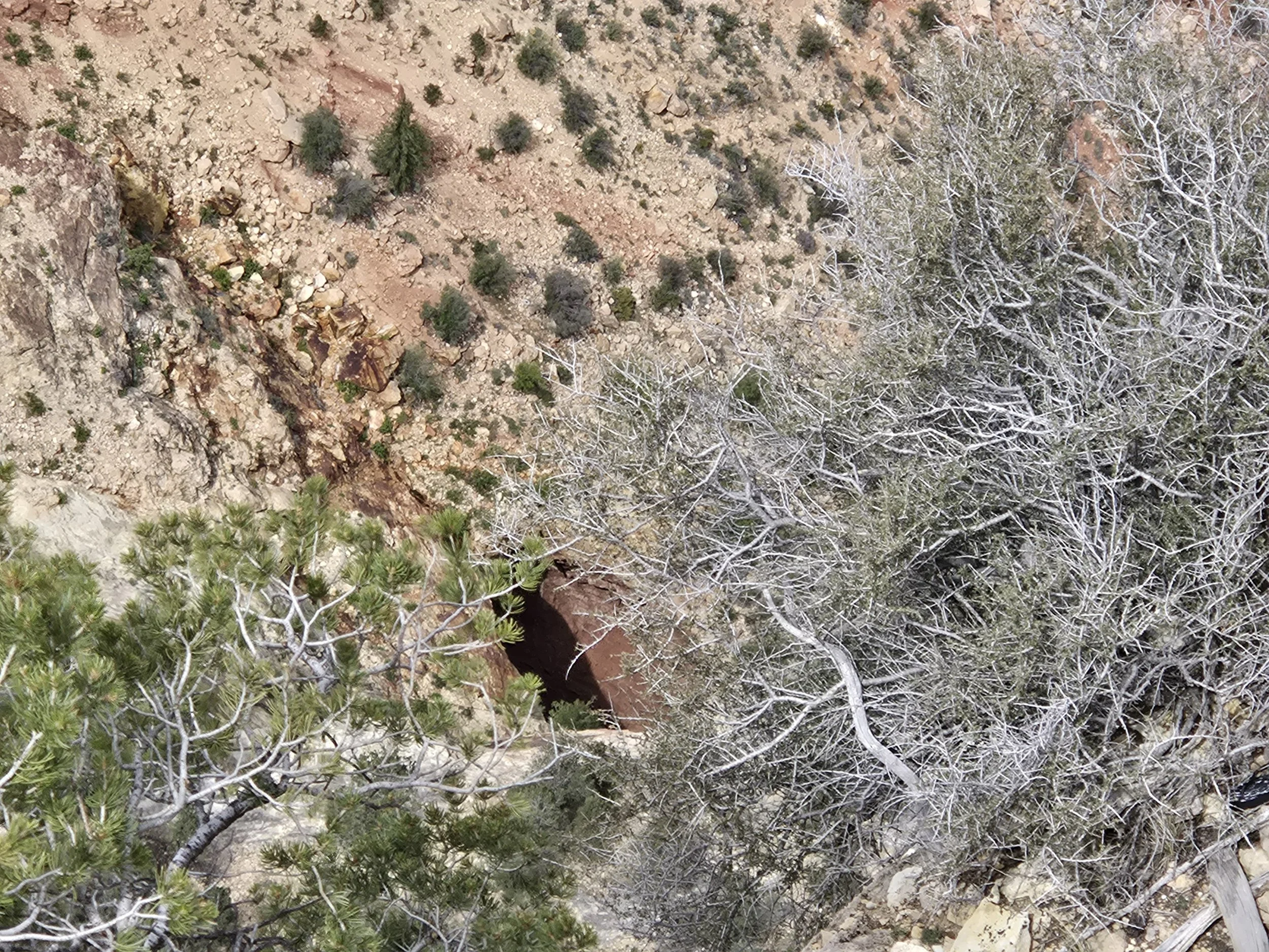
The original Glory Hole of the 1891 Mine. It was originally a copper mine but switched to Uranium later.
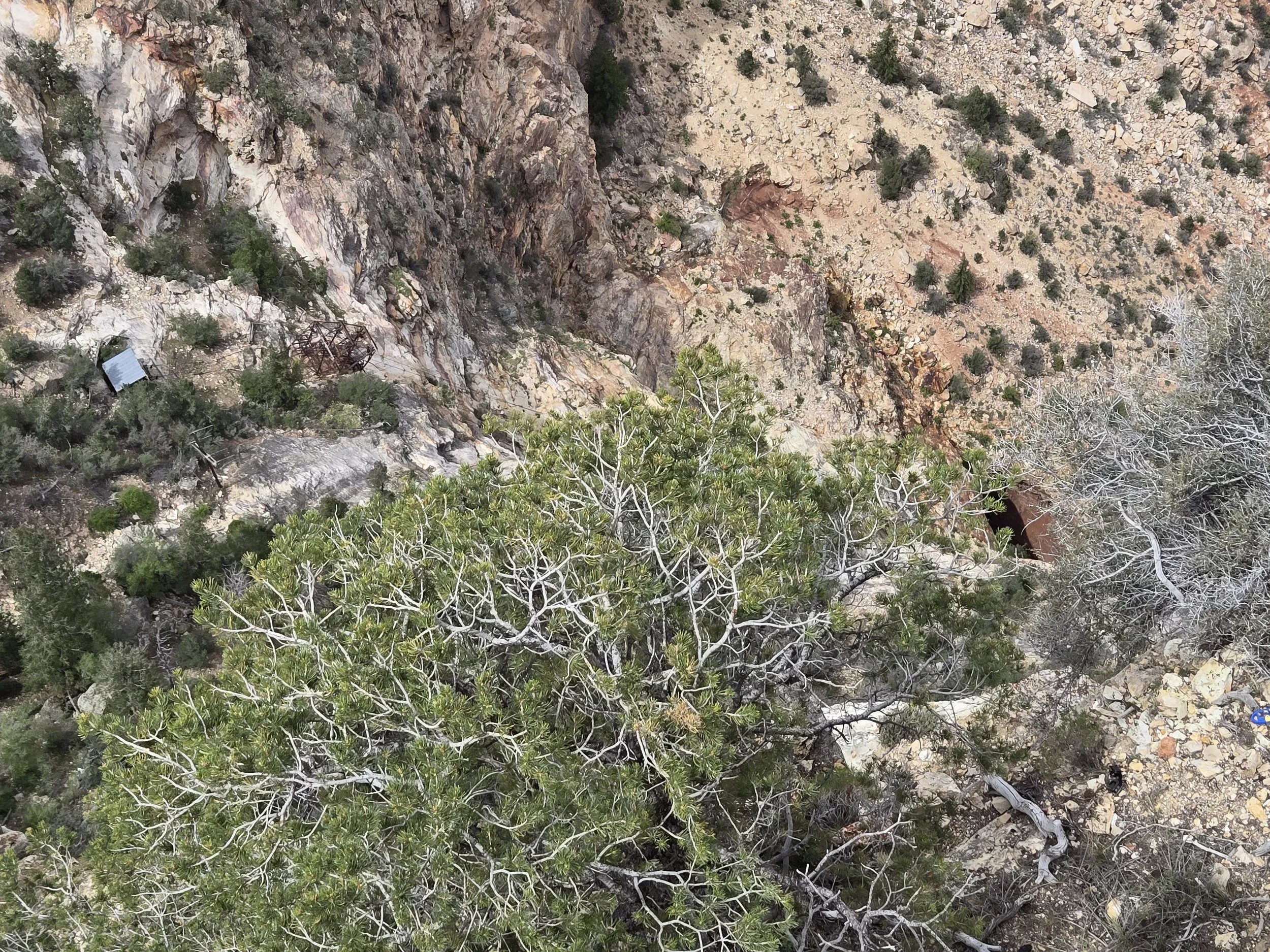
You can see the old Glory Hole here but to the left some old mining equipment from a later period like a cable car cage.
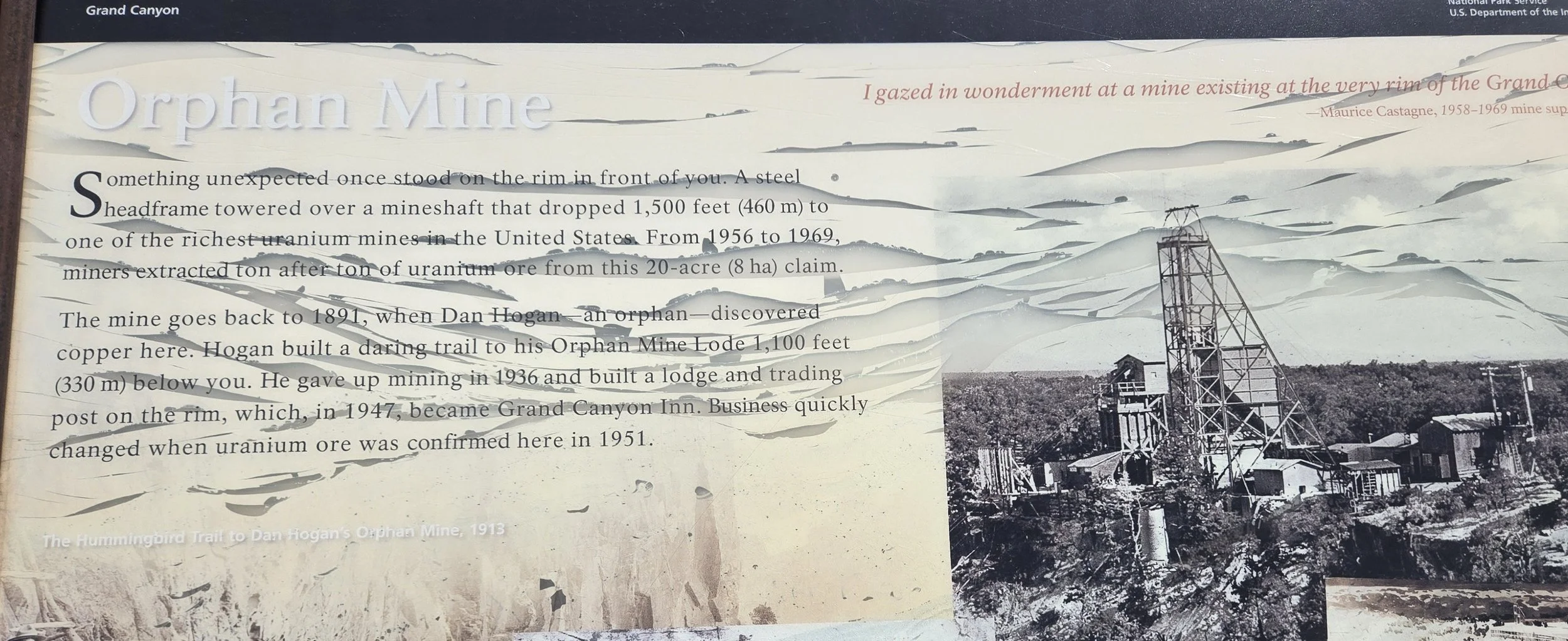
Some information about the mine and what it used to look like. I believe that metal tower was what we saw collapsed into the canyon. Honestly, I was not expecting to see an old uranium mine at the Grand Canyon.
We hiked a bit to some other lookout points. We came across a creepy skeleton near the fence that blocked off the radiated area. There was also a cool memorial to Wesley Powell, one of the early explorers of the Grand Canyon. Powell was part of the first official US Geological Survey expedition to pass through the entire Grand Canyon. 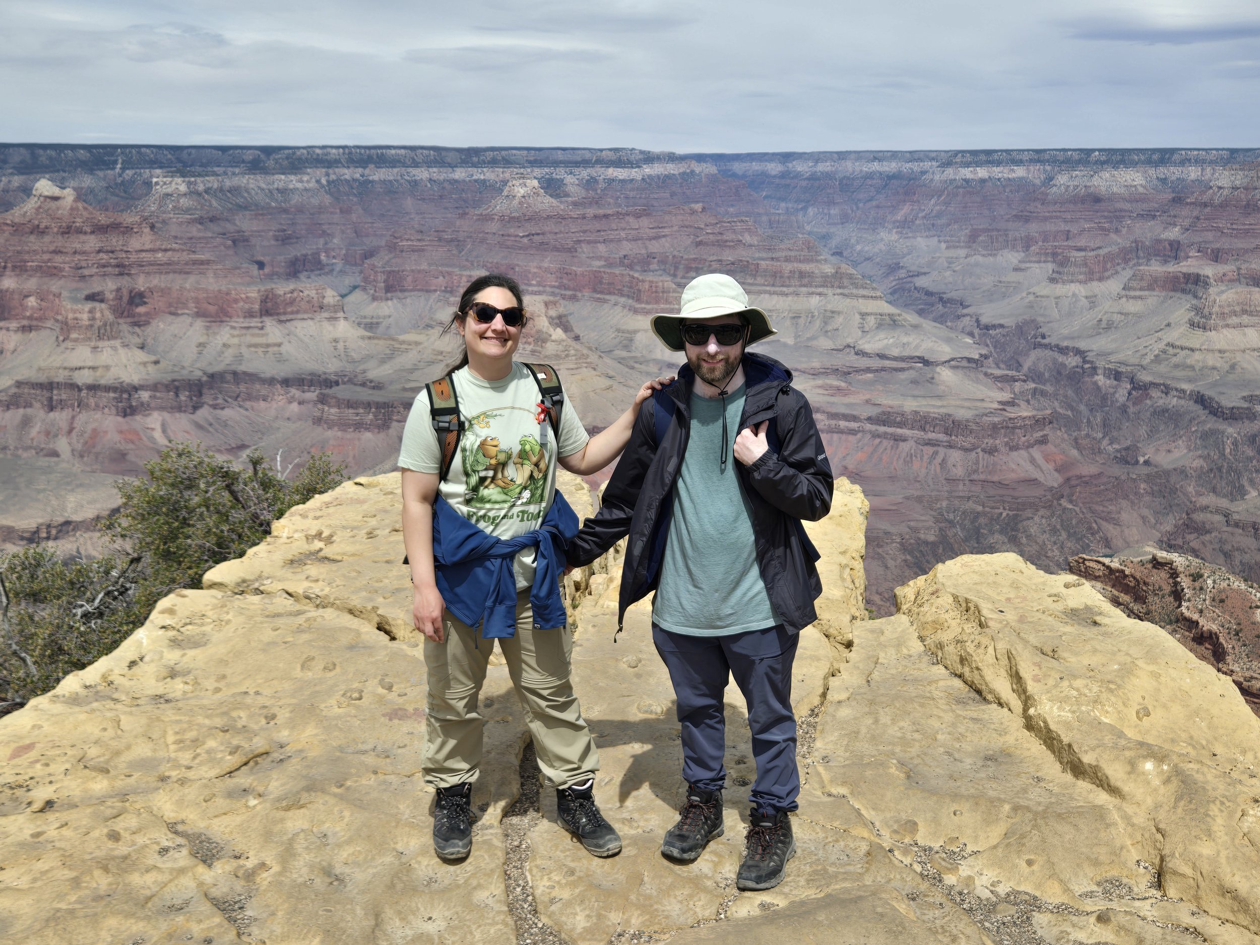
On the other side of the monument is a long long outcropping.
We got back on the shuttle and the driver sold everyone to get out at one stop since it was the best look at the Colorado River. We were on our way to Hermits rest to see the end of the line but looking back at the pictures the shuttle driver was right and this really was a great place to see the river. 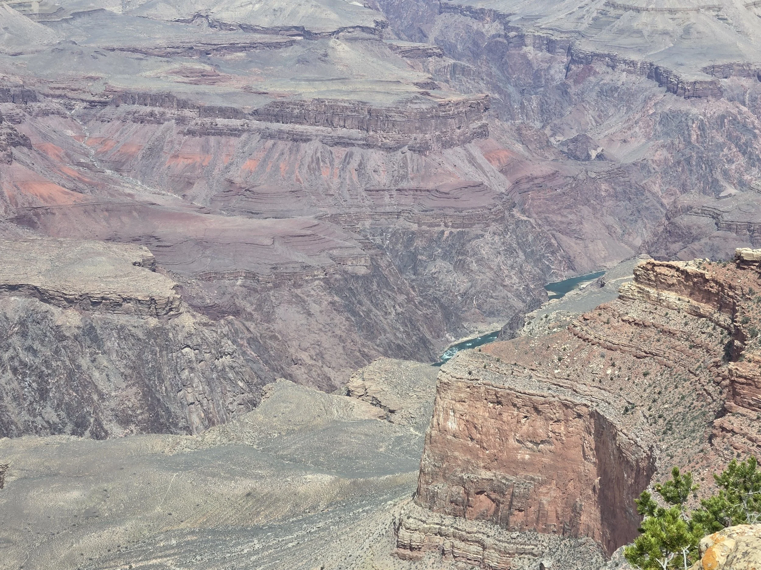
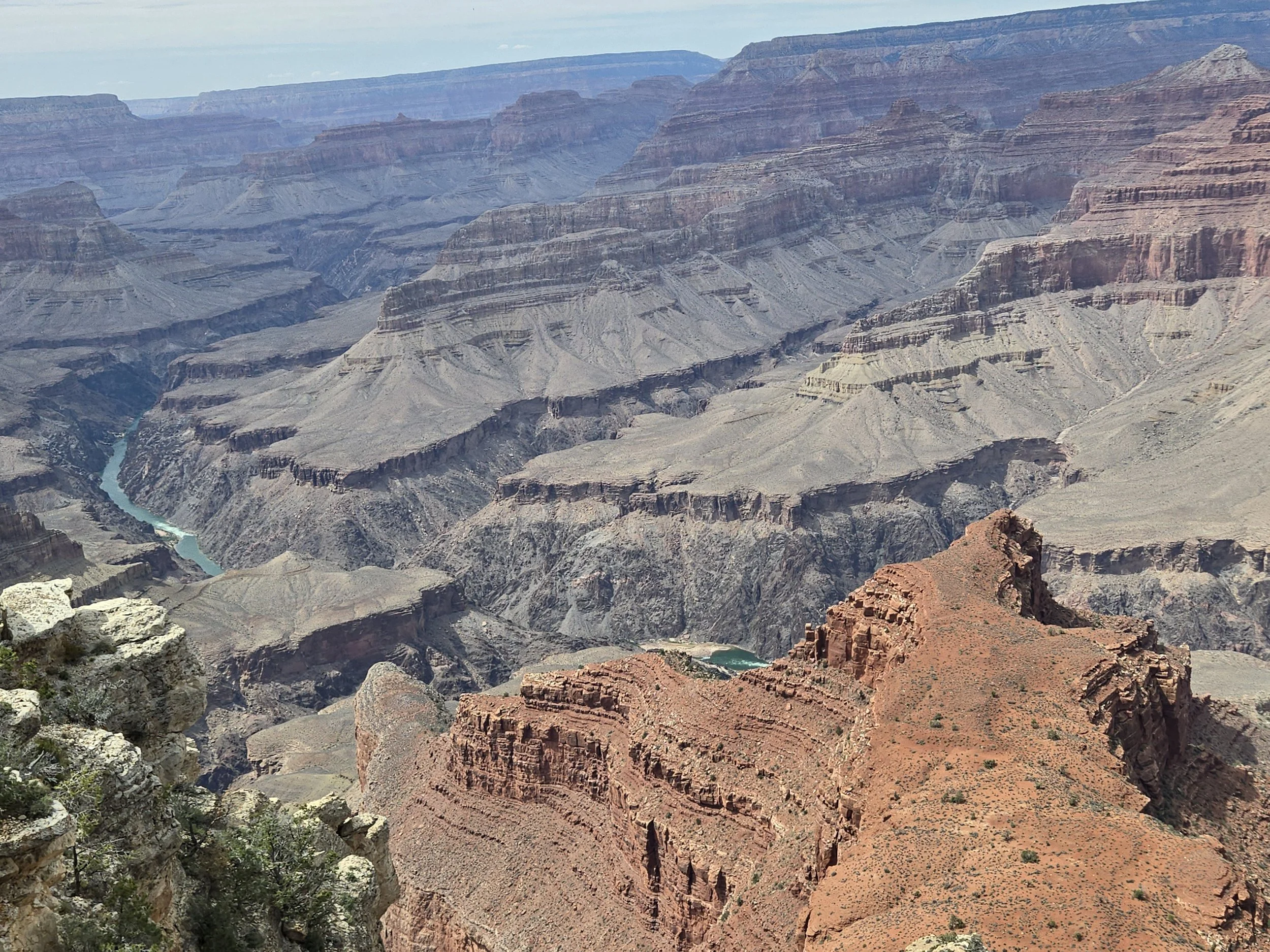
One of the best shots of the Colorado on the South Rim.
Hermit's rest was kinda meh. We were honestly over gift shops at this point. It has cool architecture but there aren't really any particularly good lookouts near there. We went back to the hotel and took a long nap. Our last activity at the Grand Canyon was to see sunset and an astronomy talk with a professor at the visitor center. The astronomy talk was about galaxy collisions and was extremely interesting. Cerissa even requested the slides afterwards. We went out after the talk to try and see some the milky way, but it was way too cloudy. Though it was a bit disappointing an end we did get three days of clear skies of the Grand Canyon. I know people who have never seen it in clear skies, so we were pretty lucky that it was blue skies all three days we were there. 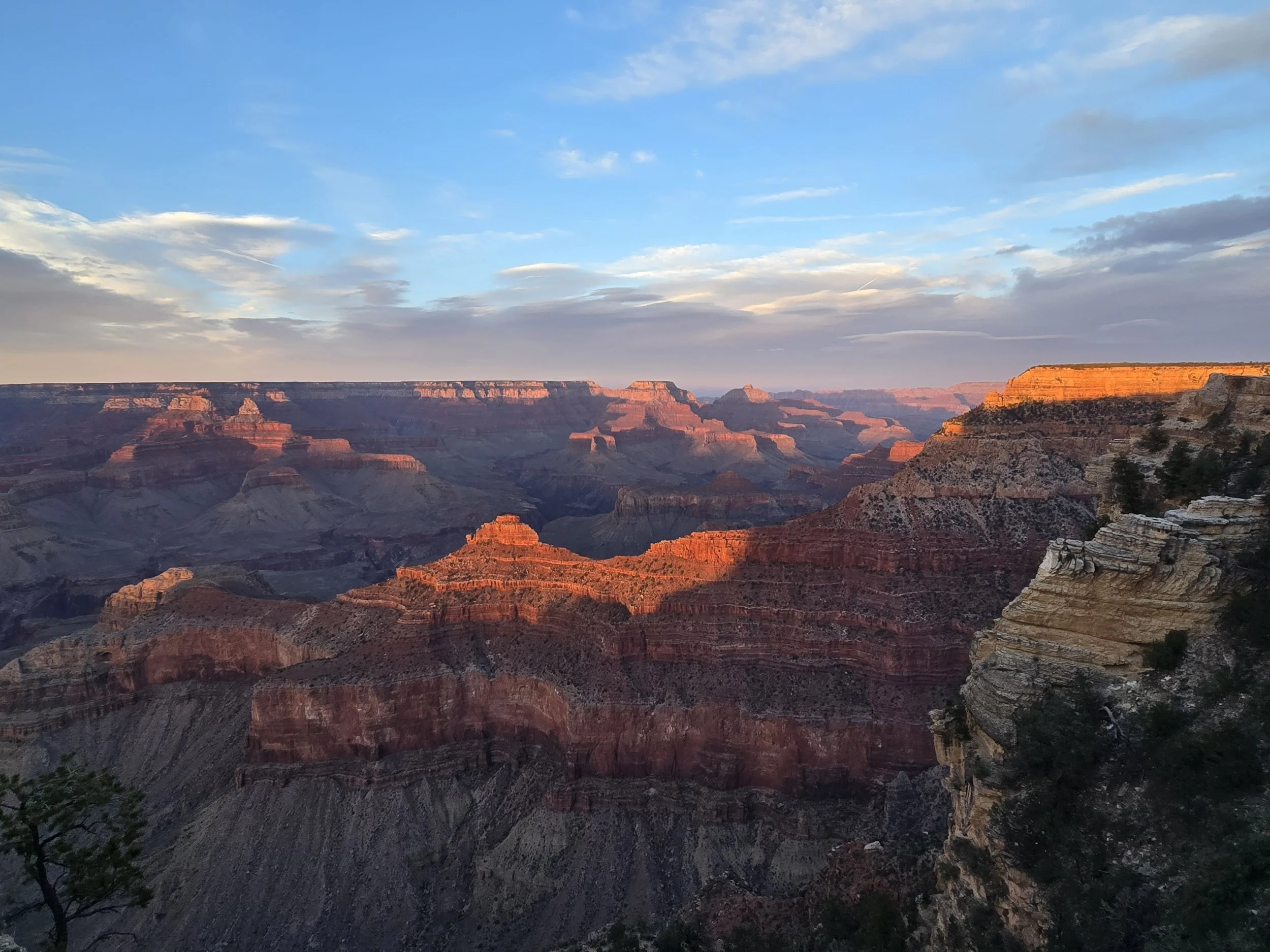
We were a little late but still got the classic sunset shot.
Conclusion
It is hard to really express the scale of the Grand Canyon. It's definitely a much-deserved bucket list item. I would encourage you when you visit to try and hike at least a little bit, as it's much more interesting than just walking around the rim. Definitely take safety precautions, but the two hikes we did I think most fairly healthy people could do. If not you could do a lower section of Bright Angel Trail. If you can’t hike it, ridding the mules down is another option, but as we learned, this is not as easy as it may see. I think when it comes to museums and things to do at the South Rim, I think the geology museum and the Desert View Watchtower were worth it, but the rest honestly seemed like mostly giftshops. One suggestion I would have for the National Park is to cut down the amount of gift shops. They are everywhere and it gets annoying. What they should do is take some of the facilities and turn them into dedicated history museums, with cool exhibits like reproductions of Ancient Pueblos, more information about the Native Americans in the area, artifacts as well as some exhibits on the early European exploration of the area. They had some small museums dedicated to the History of the Natives, Grand Canyon Village, Geology, but they were all relatively small and all had gift shops attached to them. One really good dedicated museum I think would have better than scattered smaller museums that were mostly gift shops. I would recommend two days at least but no longer than 3 days. We did literally everything we could in three days and the only thing we missed out on was the Native American ruins because they were closed. The number of days you visit depends greatly on how much hiking you have planned. For what we did, smaller hikes and exploring the rim, three days was good but I also think we could have just as easily done it in 2, but it would have been more rushed. We look forward to one day exploring the North and West parts of the Grand Canyon. Legends and Lore
Any place as large and mysterious as the Grand Canyon is bound to collect some strange legends over the years. Unfortunately, our written history of the Grand Canyon doesn't really begin in earnest until the later 19th century when European settlers began to explore, settle and mine the area. We know from the cliff dwellings in the Canyon (that we tried hard to see but could not) that humans have inhabited the area for hundreds of years before that. Lost Cities
One of the most prevalent myths from the Grand Canyon is from a 1909 newspaper article stating that a Lost City had been found in the Grand Canyon by G. E. Kinkaid. The story states that he found an enormous citadel built into the cliffs. He climbed up into the citadel and discovered labyrinths and passages filled with Tibetan and Egyptian artifacts. The article ends by saying that the Smithsonian is investigating further. It's easy to see how one could in their mind connect the massive peninsula like projects in the Grand Canyon to Ancient Egypt. Some of these formations are even called 'Temples'. Several had ancient names like Shiva Temple, Isis Temple and Cheops Pyramid. 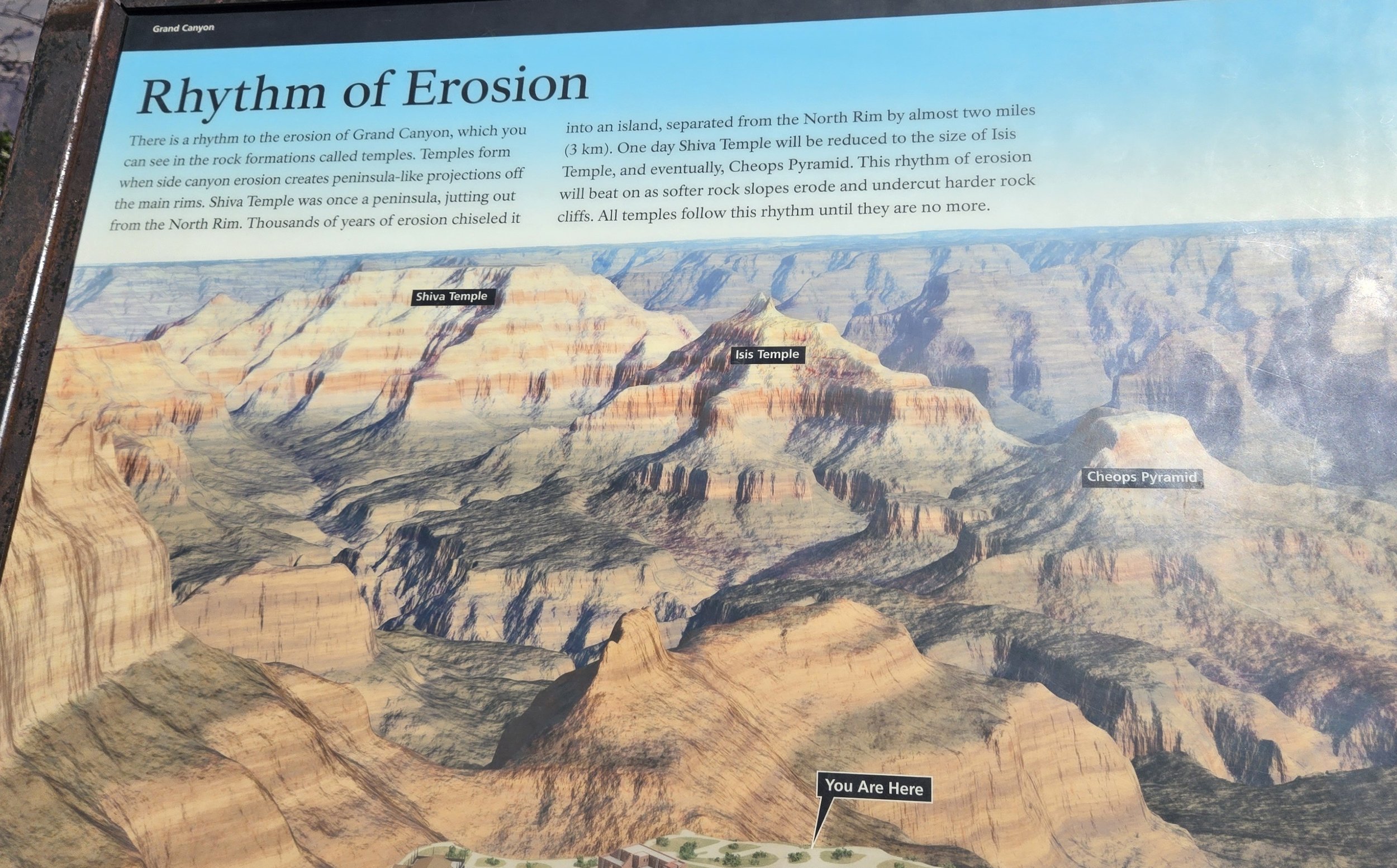
A panel explaining the erosion and how it creates pyramidal structures.
Most people now believe that this was a hoax article to sell newspapers. Stories like this were common in the end of the 19th and early 20th centuries.Lost cities do actually exist though in the Grand Canyon, though they were not built by Egyptians or Tibetans. There are multiple cliff dwellings built by the Native Americans. One was mentioned earlier with the panel during the Trail of Time. While the story is likely fabricated, it's possible that someone saw one of these ancient dwellings and made a cool story about it being a lost Civilization. We saw an introduction video at the visitor center that mentioned how Park Rangers and exploring these ancient ruins throughout the Grand Canyon and studying them. Most are in very remote and hard to reach locations. Hopefully in the future the public can visit more of these and see the real Lost cities of the Grand Canyon. Cave Dwarfs
Speaking of strange journalism and wild stories, another one was written in the San Franciso Examiner in 1890. This story is even more wild and there probably isn't a grain of truth in it anywhere, but it's interesting nonetheless. The newspaper tells the story of an explorer named Mosher discovered strange albino dwarf-like creatures living in tunnels of the Grand Canyon. Mosher described these creatures as “grotesque” (rude). They had hair like porcupine quills, white eyes and skin except for orange pupils. Mosher described that they climbed up the cliffs and began to throw rocks at him and spoke a strange language he calls gibberish. He was saved only by the intervention of a Havasupai Chief he had been traveling. I don’t really need to say much about this one, its clearly just a hoax horror story to drum up interest in the Canyon. We looked and looked and did not see any dwarf creatures or ancient city. At least the Havasupai Native American in the story gets to be the savior of the European explorer for a change. There’s actually a lot of these stories, I could go on and on about weird things/creatures/places early explorers found in the Grand Canyon. Some of these I think could be legitimate mis identifications (it's possible someone found Native American cave art and thought it was Egyptian) but most are probably completely fabricated. There are plenty of real and actual interesting things about the Grand Canyon that you don't really need to make up stories. It does show how the majesty of the place works on people's imaginations. Sources/ Suggested reading
-The Incredible Grand Canyon. By Scott Thybony-Bright Angel Trail | Grand Canyon Conservancy-Bright Angel Trail (U.S. National Park Service)-Geology - Grand Canyon National Park (U.S. National Park Service)